January 2022
Current Set Up Across the Nation
Monday Night Forecast for the Dallas – Fort Worth Metroplex
3:40 PM | Winter Storm Watch until 6:00 PM Thursday
From William Cole: A Winter Storm Watch has been issued in the Weather Tracker TV DFW coverage area from 6:00 PM Wed until 6:00 PM Thursday for Bosque, Collin, Cooke, Dallas, Delta, Denton, Ellis, Erath, Fannin, Grayson, Hamilton, Hill, Hood, Hopkins, Hunt, Jack, Johnson, Kaufman, Lamar, Montague, Palo Pinto, Parker, Rockwall, Somervell, Stephens, Tarrant, Wise & Young Counties in North Texas.
Heavy mixed winter precipitation possible. Total snow accumulations of up to two inches and ice accumulations of up to three tenths of an inch possible.
Stay with William Cole and Weather Tracker TV Dallas – Fort Worth for continuing coverage, online, on our app and on TV. Let’s stay safe together.
DFW Early Monday Afternoon Update
Monday’s National Forecast Maps
Winter Storm Likely in North Texas Wednesday Night – Thursday
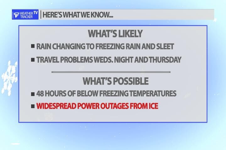
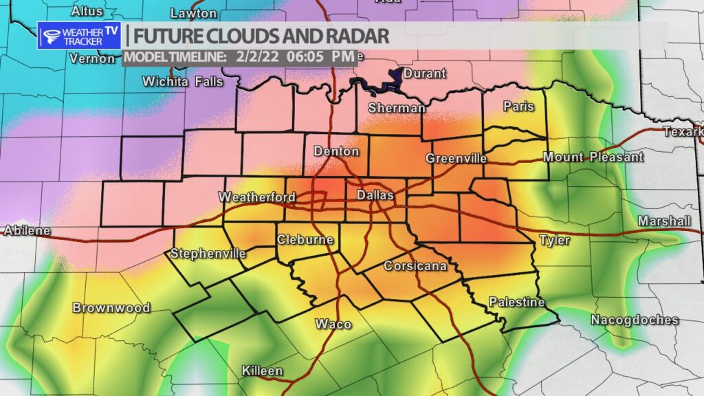
A winter storm is on the way for North Texas and it all begins on Wednesday. First, with rain and heavy rain that builds in as we go through Wednesday afternoon. Cold Arctic air arrives by late day Wednesday and the heavy rain changes over to a heavy freezing rain. The latest data trends the freezing rain thru Wednesday night and into parts of Thursday. There may be some transition on Thursday over to sleet before it tappers off. Generally speaking ice storms cause major travel disruptions and unfortunately power disruptions. It’s best to be prepared for both of those things especially if you have kids in the home. Just like with all winter storms the data will change a little over the next 48 hours but – it’s best to begin to prepare today for a higher impact winter event across all of North Texas.


