North Texas heads into a quiet and comfortable night with clear skies, light winds, and Metroplex lows in the low to mid-60s.
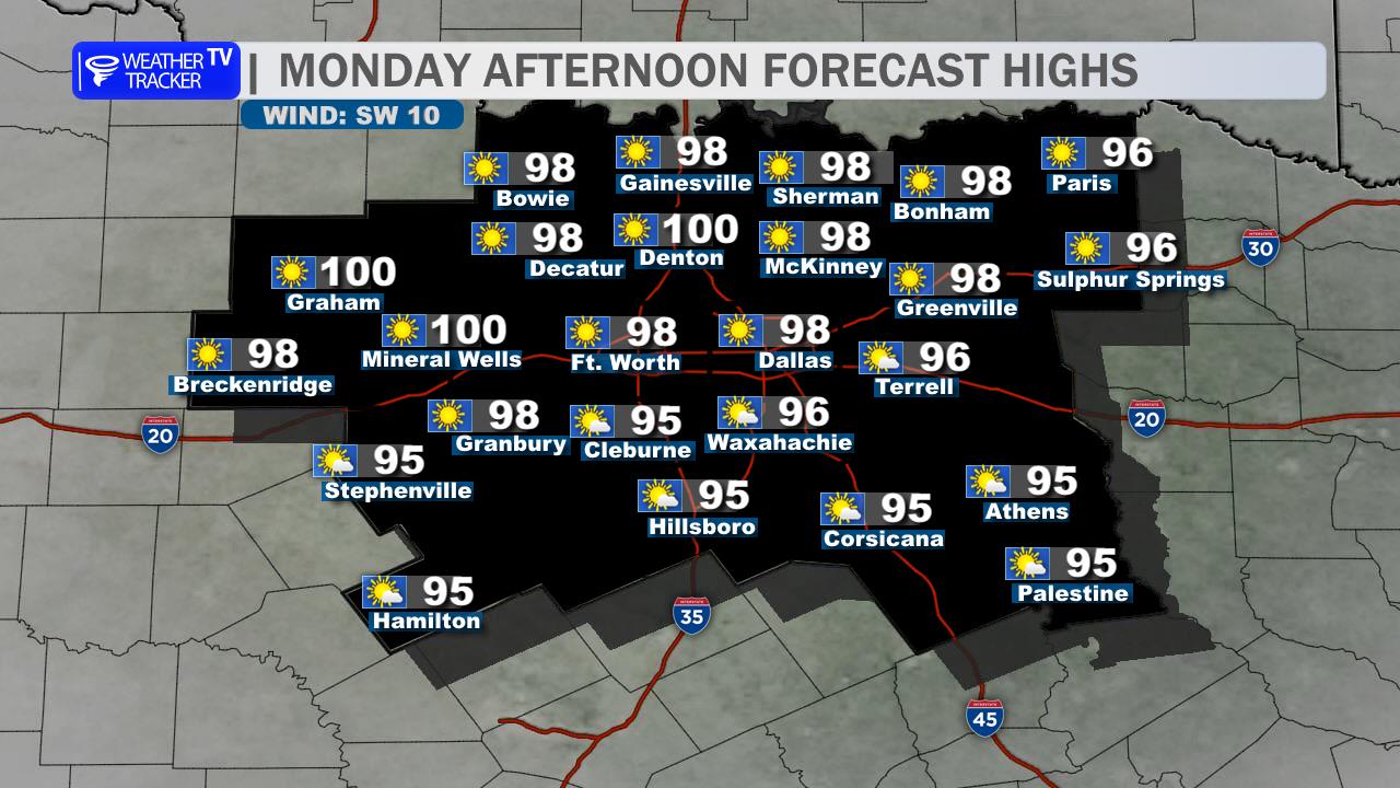
Saturday will bring more sunshine and summerlike warmth, with highs near 90 to the lower 90s across Dallas, Fort Worth, Arlington, Plano, and surrounding communities. Winds will turn southerly during the afternoon, and an Ozone Action Day remains in effect, so limiting unnecessary vehicle use is encouraged.
The dry, warm pattern holds through Sunday and Columbus Day, with highs near 90 and gradually warmer nights. Tuesday and Wednesday stay hot, with highs in the lower 90s and heat index values potentially climbing near 105 in parts of the Metroplex.
Our next rain chances arrive late Wednesday night and continue Thursday, when scattered showers and thunderstorms become more likely. A cooler pattern follows, with Friday highs dropping into the upper 70s.
Stay with William Cole & Weather Tracker TV.
Let’s stay safe together.
Tonight

Overnight – Hourly

Tonight – Precipitation

Tomorrow

Tomorrow – Precipitation