NOW UPDATE | Saturday 4:16 PM Tarrant County

Texas Weather Tracker TV Alert

From William Cole: A strong T-Storm will impact portions of northeastern Tarrant County through 445 PM

At 415 PM , Live Radar was tracking a strong T-Storm over Bedford, moving northeast at 35 mph.

Wind Gusts Up To 50 Mph And Half Inch Hail. Gusty Winds Could Knock Down Tree Limbs And Blow Around Unsecured Objects. Minor Damage To Outdoor Objects Is Possible.

Stay with William Cole and Weather Tracker TV Dallas – Fort Worth for continuing coverage, online, on our app and on TV. Let’s stay safe together.

Your Support Helps

NOW UPDATE | Saturday 3:50 PM Tarrant County

Texas Weather Tracker TV Alert

From William Cole: A strong T-Storm will impact portions of southeastern Tarrant County through 415 PM

At 350 PM , Live Radar was tracking a strong T-Storm over Kennedale, moving northeast at 30 mph.

Winds In Excess Of 40 Mph. Gusty Winds Could Knock Down Tree Limbs And Blow Around Unsecured Objects.

Stay with William Cole and Weather Tracker TV Dallas – Fort Worth for continuing coverage, online, on our app and on TV. Let’s stay safe together.

Your Support Helps

3:11 PM | T-Storm Warning Hamilton County until 4:15 PM Saturday

Texas Weather Tracker TV Alert

From William Cole: A T-Storm Warning has been issued in the Weather Tracker TV DFW coverage area for Hamilton County in North Texas until 4:15 PM.

At 311 PM , a severe T-Storm was located 10 miles southwest of Evant, or 20 miles north of Lampasas, moving east at 45 mph.

Hometowns Impacted: Gatesville Around 345 Pm . Fort Gates Around 355 Pm .

Primary Threats: Ping Pong Ball Size Hail And 60 Mph Wind Gusts.

Stay with William Cole and Weather Tracker TV Dallas – Fort Worth for continuing coverage, online, on our app and on TV. Let’s stay safe together.

Your Support Helps

2:25 PM | T-Storm Warning Bosque & Hill Counties until 3:30 PM Saturday

Texas Weather Tracker TV Alert

From William Cole: A T-Storm Warning has been issued in the Weather Tracker TV DFW coverage area for Bosque & Hill Counties in North Texas until 3:30 PM.

At 225 PM , a severe T-Storm was located over Whitney, or 14 miles west of Hillsboro, moving east at 45 mph.

Hometowns Impacted: Whitney And Aquilla Lake Around 230 Pm . Hillsboro Around 235 Pm . Carl’s Corner Around 250 Pm .

Primary Threats: Half Dollar Size Hail.

Stay with William Cole and Weather Tracker TV Dallas – Fort Worth for continuing coverage, online, on our app and on TV. Let’s stay safe together.

Your Support Helps

8:52 AM | Dense Fog Advisory until 11:00 AM Saturday

Texas Weather Tracker TV Alert

From William Cole: A Dense Fog Advisory has been issued in the Weather Tracker TV DFW coverage area from 9:00 AM Saturday until 11:00 AM Saturday for Stephens & Young Counties in North Texas.

Visibility one quarter mile or less in dense fog.

Stay with William Cole and Weather Tracker TV Dallas – Fort Worth for continuing coverage, online, on our app and on TV. Let’s stay safe together.

Your Support Helps

ALERT 4:20 AM | Flood Watch extended until 10:00 PM Sat

Weather Tracker TV DFW Alert

From William Cole: A Flood Watch has been extended for the following counties in North Texas until 10:00 PM Saturday. Anderson, Ellis, Freestone, Henderson, Hill, Johnson, Kaufman, Navarro & Van Zandt.

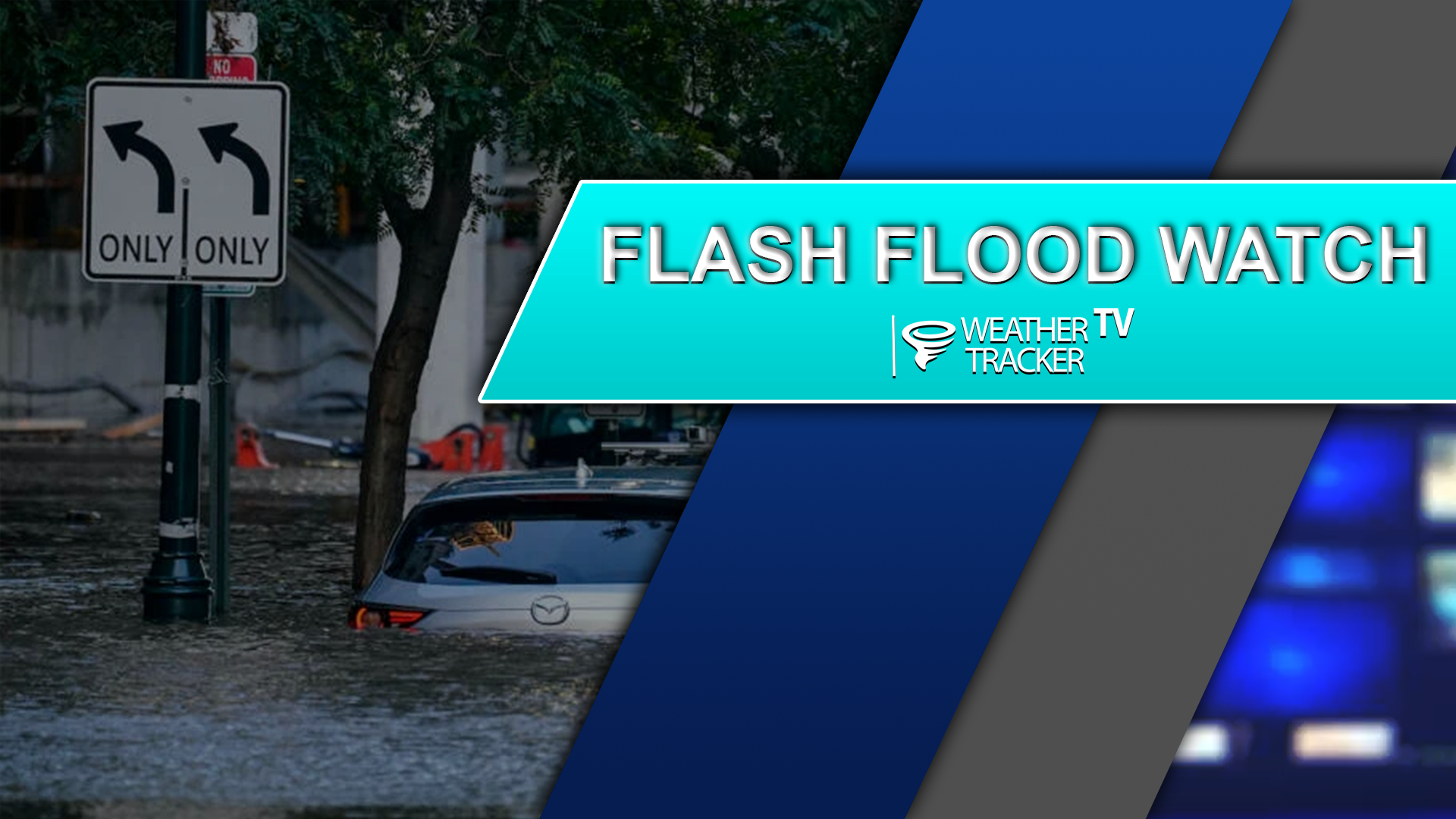
WHAT Flooding caused by excessive rainfall continues to be possible. WHERE Portions of north central, northeast, and south central Texas, including the following counties, in north central Texas, Bell, Ellis, Falls, Freestone, Hill, Johnson, Kaufman, Limestone, McLennan and Navarro. In northeast Texas, Anderson, Henderson, Leon and Van Zandt. In south central Texas, Milam and Robertson. WHEN Through this evening. IMPACTS Excessive runoff may result in flooding of rivers, creeks, streams, and other low-lying and flood-prone locations. Flooding may occur in poor-drainage and urban areas. Creeks and streams may rise out of their banks. ADDITIONAL DETAILS – Rainfall totals of 1 to 2 inches, with isolated higher amounts up to 3 inches.

Stay with William Cole and Weather Tracker TV Dallas – Fort Worth for continuing coverage, online, on our app and on TV.

Your Support Helps

10:48 PM | Flood Advisory Dallas County until 1:45 AM

Texas Weather Tracker TV Alert

From William Cole: A Flood Advisory has been issued for Dallas County in the Dallas – Fort Worth Metroplex until 1:45 AM. Ponding on the roadways and localized street flooding is possible.

Remember if you see water across a roadway do not drive through it. Turn Around Don’t Drown.

Stay with William Cole and Weather Tracker TV Dallas – Fort Worth for continuing coverage, online, on our app and on TV. Let’s stay safe together.

Your Support Helps

NOW UPDATE | Friday 10:14 PM Hill & Limestone Counties

Texas Weather Tracker TV Alert

From William Cole: Strong T-Storms will impact portions of eastern McLennan, Limestone, southeastern Hill and Falls Counties through 1100 PM

At 1013 PM , Live Radar was tracking strong T-Storms along a line extending from near Navarro Mills Lake to near Troy. Movement was east at 30 mph.

Winds In Excess Of 40 Mph. Gusty Winds Could Knock Down Tree Limbs And Blow Around Unsecured Objects.

Stay with William Cole and Weather Tracker TV Dallas – Fort Worth for continuing coverage, online, on our app and on TV. Let’s stay safe together.

Your Support Helps

NOW UPDATE | Friday 10:11 PM Collin, Dallas, Ellis, Kaufman, Navarro & Rockwall Counties

Texas Weather Tracker TV Alert

From William Cole: Strong T-Storms will impact portions of Rockwall, Kaufman, central Ellis, Collin, eastern Dallas and Navarro Counties through 1100 PM

At 1010 PM , Live Radar was tracking strong T-Storms along a line extending from near Celina to near Mesquite to Navarro Mills Lake. Movement was east at 35 mph.

Wind Gusts Up To 50 Mph. Gusty Winds Could Knock Down Tree Limbs And Blow Around Unsecured Objects.

Stay with William Cole and Weather Tracker TV Dallas – Fort Worth for continuing coverage, online, on our app and on TV. Let’s stay safe together.

Your Support Helps

NOW UPDATE | Friday 9:27 PM Ellis, Hill, Johnson & Navarro Counties

Texas Weather Tracker TV Alert

From William Cole: Strong T-Storms will impact portions of eastern Johnson, Hill, Ellis and west central Navarro Counties through 1015 PM

At 927 PM , Live Radar was tracking strong T-Storms along a line extending from near Midlothian to near Aquilla Lake. Movement was east at 35 mph.

Wind Gusts Of 50 To 55 Mph. Gusty Winds Could Knock Down Tree Limbs And Blow Around Unsecured Objects.

Stay with William Cole and Weather Tracker TV Dallas – Fort Worth for continuing coverage, online, on our app and on TV. Let’s stay safe together.

Your Support Helps