7:46 PM Severe Weather Update

A severe thunderstorm warning remains in effect for northeastern Tarrant County in North Texas until 8:15 PM. The storm was near North Richland Hills at 7:45 PM and moving south at 10 mph.
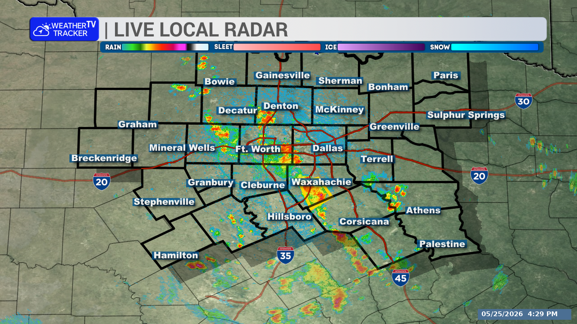
Live Local Radar

**Timing:**
– Warning remains in effect until 8:15 PM.
– The storm is moving south at 10 mph.

**What to Expect:**
– Wind gusts up to 60 mph.
– Quarter-size hail.
– Numerous reports of pea- to dime-size hail have already been received.

**Potential Impacts:**
– Hail damage to vehicles is expected.
– Wind damage to roofs, siding, and trees is possible.
– Impacted locations include Fort Worth, Arlington, Euless, Bedford, Grapevine, Haltom City, Keller, Hurst, Southlake, Watauga, Colleyville, Richland Hills, North Richland Hills, DFW International Airport, Westlake, and Grapevine Lake.

**What to Do Now:**
– Stay inside a sturdy structure.
– Keep away from windows.

Stay with William Cole and Weather Tracker TV.
Let’s stay safe together.
7:16 PM Severe T-Storm Warning

A severe thunderstorm warning is in effect for northeastern Tarrant County until 8:15 PM. A nearly stationary severe storm was located over Colleyville at 7:15 PM.

Warned county: Northeastern Tarrant County in North Texas.

Live Local Radar

**Timing:**
– Until 8:15 PM.
– At 7:15 PM, the storm was over Colleyville and nearly stationary.

**What to Expect:**
– Wind gusts up to 60 mph.
– Quarter-size hail.

**Potential Impacts:**
– Hail damage to vehicles is expected.
– Wind damage to roofs, siding, and trees is possible.

**What to Do Now:**
– Get inside a sturdy structure.
– Stay away from windows.

Stay with William Cole and Weather Tracker TV.
Let’s stay safe together.
7:11 PM Radar Update

A strong thunderstorm is moving south across northern Hunt County. Gusty winds and small hail are possible through 7:45 PM.

Live Local Radar

**Timing:**
– Through 7:45 PM
– At 7:10 PM, the storm was near Wolfe City, moving south at 5 mph.

**What to Expect:**
– Wind gusts over 40 mph
– Pea-size hail

**Potential Impacts:**
– Gusty winds could knock down tree limbs.
– Unsecured outdoor objects may be blown around.
– Minor damage to outdoor objects is possible.

**What to Do Now:**
– If outdoors, consider seeking shelter inside a building.

Stay with William Cole and Weather Tracker TV.
Let’s stay safe together.
7:03 PM Radar Update

A strong thunderstorm is nearly stationary over Colleyville and will affect parts of northeastern Tarrant County through 7:30 PM. Gusty winds and small hail are possible.

Live Local Radar

**Timing:**
– Through 7:30 PM

**What to Expect:**
– Winds in excess of 40 mph
– Pea-size hail

**Potential Impacts:**
– Gusty winds could knock down tree limbs.
– Unsecured objects may be blown around.
– Minor damage to outdoor objects is possible.

**What to Do Now:**
– If you are outdoors, consider seeking shelter inside a building.

Stay with William Cole and Weather Tracker TV.
Let’s stay safe together.

6:30 PM Radar Update

A strong thunderstorm is moving south across parts of North Texas, including northwestern Hunt and south central Fannin Counties. Gusty winds and small hail are possible through 7:00 PM.

Live Local Radar

**Timing:**
– Through 7:00 PM
– At 6:30 PM, the storm was near Wolfe City and moving south at 10 mph.

**What to Expect:**
– Wind gusts over 40 mph
– Pea-size hail

**Potential Impacts:**
– Gusty winds could knock down tree limbs.
– Unsecured outdoor objects could be blown around.
– Minor damage to outdoor objects is possible.

**What to Do Now:**
– If you are outdoors, consider moving inside a building.
– Areas impacted include Wolfe City, Celeste, Bailey, South Sulphur, Kingston, and Gober.

Stay with William Cole and Weather Tracker TV.
Let’s stay safe together.

6:01 PM Radar Update

A strong thunderstorm is nearly stationary near Royse City and will affect parts of eastern Rockwall and southwestern Hunt counties through 6:30 PM. Gusty winds and small hail are possible.

Live Local Radar

**Timing:**
– Through 6:30 PM

**What to Expect:**
– Winds in excess of 40 mph
– Pea-size hail

**Potential Impacts:**
– Gusty winds could knock down tree limbs
– Unsecured objects may be blown around
– Minor damage to outdoor objects is possible
– Areas impacted include Rockwall, Royse City, Fate, Quinlan, Hawk Cove, Lake Tawakoni, McLendon-Chisholm, and Union Valley
– Interstate 30 between mile markers 73 and 77, and between mile markers 80 and 81, may be affected

**What to Do Now:**
– If outdoors, consider seeking shelter inside a building

Stay with William Cole and Weather Tracker TV.
Let’s stay safe together.

5:39 PM Radar Update

A strong thunderstorm is moving southeast across parts of North Texas through 6:30 PM. It may produce wind gusts up to 50 mph and penny-size hail.

Live Local Radar

**Timing:**
– Through 6:30 PM
– Near Lake Kiowa around 5:45 PM
– Near Collinsville around 5:50 PM
– Near Gunter around 6:20 PM

**What to Expect:**
– Wind gusts up to 50 mph
– Penny-size hail
– The storm is affecting northeastern Denton, northwestern Collin, southeastern Cooke, and southwestern Grayson counties.

**Potential Impacts:**
– Gusty winds could knock down tree limbs.
– Unsecured objects may be blown around.
– Minor damage to outdoor objects is possible.
– Interstate 35 between mile markers 490 and 500 is included.

**What to Do Now:**
– If you are outdoors, consider seeking shelter inside a building.

Stay with William Cole and Weather Tracker TV.
Let’s stay safe together.

5:34 PM Severe Weather Update

A severe thunderstorm warning remains in effect for central Cooke County in North Texas until 5:45 PM. The storm is near Gainesville and moving southeast at 25 mph.

Live Local Radar

**Timing:**
– Until 5:45 PM

**What to Expect:**
– Wind gusts up to 60 mph
– Quarter-size hail
– The storm is affecting Gainesville, Lindsay, Callisburg, Hubert H Moss Lake, Lake Kiowa, Valley View, Woodbine, and Lake Ray Roberts

**Potential Impacts:**
– Hail damage to vehicles is expected
– Wind damage to roofs, siding, and trees is possible

**What to Do Now:**
– Stay inside a sturdy structure
– Keep away from windows

Stay with William Cole and Weather Tracker TV.
Let’s stay safe together.

5:17 PM Severe Weather Update

A Severe Thunderstorm Warning remains in effect for central Cooke County in North Texas until 5:45 PM. The storm is moving southeast near Lindsay and Gainesville.

Live Local Radar

**Timing:**
– Warning remains in effect until 5:45 PM.
– At 5:16 PM, the storm was just north of Lindsay, or 5 miles northwest of Gainesville, moving southeast at 25 mph.

**What to Expect:**
– Wind gusts up to 60 mph.
– Quarter-size hail.

**Potential Impacts:**
– Hail damage to vehicles is expected.
– Wind damage to roofs, siding, and trees is possible.

**What to Do Now:**
– Stay inside a sturdy structure.
– Keep away from windows.

Stay with William Cole and Weather Tracker TV.
Let’s stay safe together.