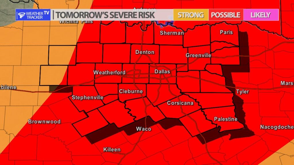
The risk of storms and severe weather returns to North Texas beginning late tonight and tomorrow (Friday) with another round possible late Saturday. Tonight, storms develop west and northwest of North Texas. Overnight, that activity will track into the area, and by sunrise Friday morning will be moving into or redeveloping near the DFW Metroplex. I would plan on a wet Friday morning commute. Severe weather is also possible Friday with quarter sized hail and winds up to 60 MPH. The morning activity pushes easy through the early afternoon. Friday late afternoon and early evening isolated storms may redevelop – those would also have a severe risk.
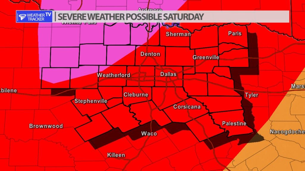
Saturday is quiet for most of the day, but by 3 PM we’ll begin to watch our western counties where a dry line will be positioned. Storms will develop near that dryline – any storms that initially develop could be supercell shaped. Very large hail, damaging winds and tornado warnings are all possible Saturday. Eventually, a line of storms will form, and that line will push across North Texas through the late evening and into the overnight.