Thursday’s Fire Weather Forecast

Texas Weather Tracker TV Alert

The current Burn Ban Map for Texas is posted above.

ELEVATED FIRE THREAT FOR ALL OF NORTH AND CENTRAL TEXAS THIS AFTERNOON

…ELEVATED FIRE THREAT FOR ALL OF NORTH AND CENTRAL TEXAS THIS AFTERNOON… HOT TEMPERATURES IN THE 90S, WITH READING AROUND 100 DEGREES ACROSS WESTERN NORTH AND CENTRAL TEXAS WILL COMBINE WITH MINIMUM HUMIDITY VALUES MIXING TO BETWEEN 20% AND 30 PERCENT AND EAST- SOUTHEAST WINDS 10 TO 15 MPH FOR AN ELEVATED FIRE WEATHER THREAT THIS AFTERNOON. VEGETATION CONTINUES TO REMAIN VERY DRY ACROSS THESE AREAS WITH ERC VALUES GREATER THAN THE 90TH PERCENTILE ACROSS MUCH OF THE AREA FOR EFFICIENT FIRE GROWTH. EXTREME CARE IS URGED DURING ALL OUTSIDE ACTIVITIES WHERE THERE IS A POTENTIAL FOR GRASS FIRES TO GET STARTED. AVOID OUTSIDE BURNING AND WELDING. DO NOT TOSS LIT CIGARETTE BUTTS OUTSIDE. REPORT WILDFIRES TO THE NEAREST FIRE DEPARTMENT OR LAW ENFORCEMENT OFFICE QUICKLY.
ALERT 2:36 PM | An Air Quality Alert has been issued for the DFW Metroplex for Thursday August 31

Texas Weather Tracker TV Alert

From William Cole: A Air Quality Alert has been issued for the following counties in North Texas until Thursday August 31. Collin, Dallas, Denton, Ellis, Henderson, Hunt, Johnson, Kaufman, Parker, Rockwall, Tarrant & Wise.

OZONE ACTION DAY The Texas Commission on Environmental Quality (TCEQ) has issued an Ozone Action Day for the Dallas-Fort Worth area for Thursday, August 31, 2023. Atmospheric conditions are expected to be favorable for producing high levels of ozone air pollution in the Dallas-Fort Worth area on Thursday. You can help prevent ozone pollution by sharing a ride, walking, riding a bicycle, taking your lunch to work, avoiding drive-through lanes, conserving energy, and keeping your vehicle properly tuned. For more information on ozone: Ozone: The Facts (www.tceq.texas.gov/goto/ozonefacts) Air North Texas: (www.airnorthtexas.org) EPA Air Now (www.airnow.gov/index.cfm?action.local_state&STATEID=45&TAB=0) Take care of Texas (www.takecareoftexas.org) North Central Texas Council of Governments Air Quality (www.nctcog.org/trans/air/index.asp)

Stay with William Cole and Weather Tracker TV Dallas – Fort Worth for continuing coverage online, on our free mobile app and on TV thru Roku, Apple and Amazon Fire TV.

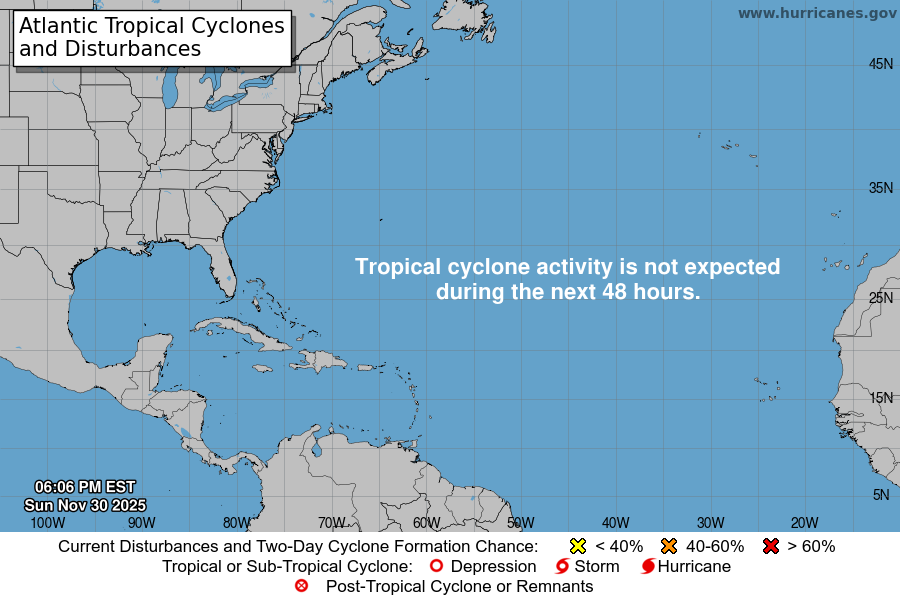
Atlantic Tropical Weather Outlook

Texas Weather Tracker TV Alert

From the National Hurricane Center:

For the North Atlantic Caribbean Sea and the Gulf of Mexico:Active Systems:The National Hurricane Center is issuing advisories on HurricaneFranklin, located a couple of hundred miles west-northwest ofBermuda, on Hurricane Idalia, near the coast of the Florida BigBend, and on Tropical Depression Eleven, located several hundredmiles east-southeast of Bermuda.Eastern Tropical Atlantic (AL94):A broad area of low pressure associated with a tropical wave locatednear the Cabo Verde Islands is producing an area of disorganizedshowers and T-Storms. Environmental conditions appearconducive for gradual development of this system, and a tropicaldepression is likely to form later this week while the systeminitially moves west-northwestward and then turns northwestwardacross the eastern tropical Atlantic.* Formation chance through 48 hours medium 40 percent.* Formation chance through 7 days medium 60 percent.Central Subtropical Atlantic (Remnants of Gert):Showers and T-Storms associated with a trough of low pressure(the remnants of Gert) are located several hundred miles to thenorth of the northern Leeward Islands. Environmental conditions donot appear to be that favorable for additional development over thenext couple of days as the system drifts slowly northward or north-northeastward. Upper-level winds are forecast to become unfavorablefor development by the weekend.* Formation chance through 48 hours low 10 percent.* Formation chance through 7 days low 10 percent.Forecaster Kelly/Reinhart

Wednesday’s Fire Weather Forecast

Texas Weather Tracker TV Alert

The current Burn Ban Map for Texas is posted above.

ELEVATED FIRE THREAT THIS AFTERNOON FOR ALL OF NORTH AND CENTRAL TEXAS

…ELEVATED FIRE THREAT THIS AFTERNOON FOR ALL OF NORTH AND CENTRAL TEXAS… UPDATE: EAST TEXAS COUNTIES HAVE BEEN ADDED TO TODAY’S GRASS FIRE DANGER STATEMENT GIVEN VEGETATION REMAINS DRY, EVEN IN THE WAKE OF SUNDAY’S RAINFALL. SEASONABLY HOT CONDITIONS WITH HIGH TEMPERATURES WELL INTO THE 90S WILL COMBINE WITH MINIMUM HUMIDITY VALUES FALLING TO BETWEEN 20 AND 25 PERCENT AND NORTH WINDS 10 TO 15 MPH FOR AN ELEVATED FIRE WEATHER THREAT THIS AFTERNOON. VEGETATION CONTINUES TO REMAIN VERY DRY ACROSS THESE AREAS WITH ERC VALUES GREATER THAN THE 90TH PERCENTILE FOR EFFICIENT FIRE GROWTH. EXTREME CARE IS URGED DURING ALL OUTSIDE ACTIVITIES WHERE THERE IS A POTENTIAL FOR GRASS FIRES TO GET STARTED. AVOID OUTSIDE BURNING AND WELDING. DO NOT TOSS LIT CIGARETTE BUTTS OUTSIDE. REPORT WILDFIRES TO THE NEAREST FIRE DEPARTMENT OR LAW ENFORCEMENT OFFICE QUICKLY.