August 2022
This Evenings North Texas Hazardous Weather Forecast
Current Set Up Across the Nation
Sunday Night Forecast for the Dallas – Fort Worth Metroplex
DFW Early Sunday Afternoon Update
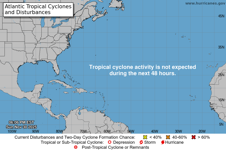
Atlantic Tropical Weather Outlook

From the National Hurricane Center:
For the North Atlantic Caribbean Sea and the Gulf of Mexico:Central Tropical Atlantic:A broad and elongated area of low pressure is located over thecentral tropical Atlantic Ocean. Although the associated showerand T-Storm activity has increased somewhat since yesterday,it currently lacks organization. Environmental conditions areexpected to be generally conducive for gradual development, and atropical depression is likely to form later this week while movingtoward the west and then west-northwest at around 10 mph, toward thewaters east of the Leeward Islands.* Formation chance through 48 hours low 30 percent.* Formation chance through 5 days high 70 percent.Central Atlantic:A small low pressure system located about 600 miles east of Bermudacontinues to produce occasional, disorganized shower activity.Strong upper-level winds and dry air are expected to limitsignificant development of this system while it meanders over thecentral Atlantic during the next few days, and the low is likely todissipate by midweek.* Formation chance through 48 hours low 10 percent.* Formation chance through 5 days low 10 percent.Northwestern Caribbean Sea:A trough of low pressure could develop over the northwesternCaribbean Sea during the middle part of this week. Environmentalconditions could support some slow development of the systemthereafter while it moves generally west-northwestward over thenorthwestern Caribbean Sea and toward the Yucatan Peninsula ofMexico.* Formation chance through 48 hours low near 0 percent.* Formation chance through 5 days low 20 percent.Eastern Tropical Atlantic:A tropical wave is forecast to move off the west coast of AfricaMonday or Monday night. Some gradual development of the system ispossible after that time while it moves generally westward acrossthe far eastern tropical Atlantic.* Formation chance through 48 hours low near 0 percent.* Formation chance through 5 days low 20 percent.Forecaster Berg