August 2022
Monday Night Forecast for the Dallas – Fort Worth Metroplex
NOW UPDATE | Monday 1:19 PM: Stephens & Young Counties
From William Cole: A strong T-Storm will impact portions of southwestern Young and northeastern Stephens Counties through 200 PM
At 119 PM , Live Radar was tracking a strong T-Storm near Crystal Falls, or 14 miles north of Breckenridge, moving north at 10 mph.
Wind Gusts Up To 50 Mph And Pea Size Hail. Gusty Winds Could Knock Down Tree Limbs And Blow Around Unsecured Objects. Minor Damage To Outdoor Objects Is Possible.
Stay with William Cole and Weather Tracker TV Dallas – Fort Worth for continuing coverage, online, on our app and on TV. Let’s stay safe together.
DFW Early Monday Afternoon Update
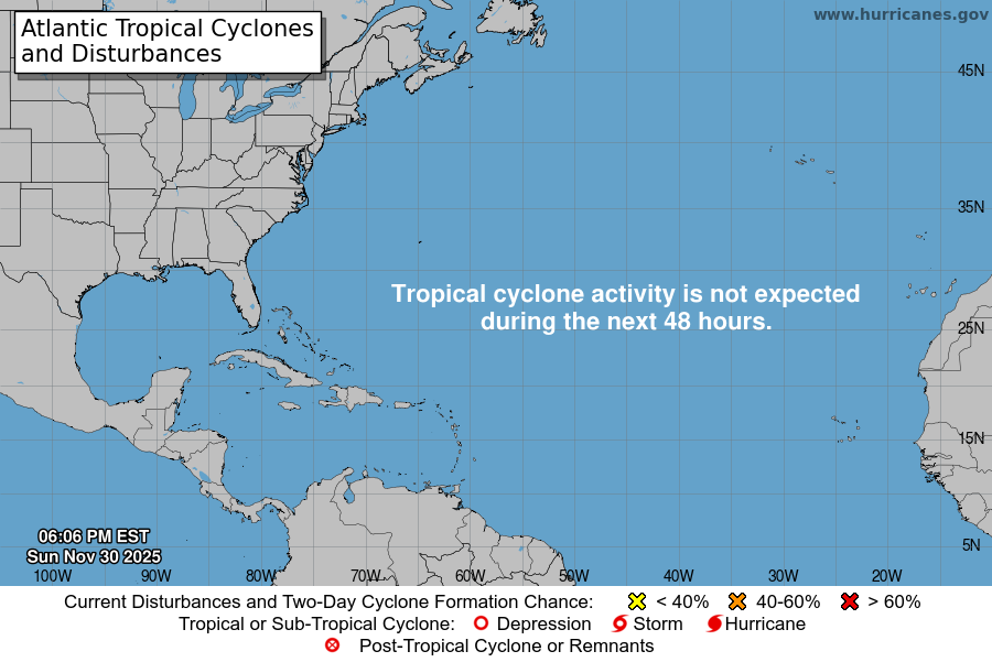
Atlantic Tropical Weather Outlook

From the National Hurricane Center:
For the North Atlantic Caribbean Sea and the Gulf of Mexico:Central Tropical Atlantic:A broad area of low pressure over the central tropical Atlanticis producing a large area of disorganized cloudiness and showers.Although environmental conditions are only marginally favorable,some gradual development of this system is expected over the nextseveral days and a tropical depression is likely to form later thisweek. The disturbance is forecast to move slowly toward the westand then west-northwest at 5 to 10 mph, toward the adjacent watersof the northern Leeward Islands. Additional information on thissystem can be found in high seas forecasts issued by the NationalWeather Service.* Formation chance through 48 hours medium 50 percent.* Formation chance through 5 days high 80 percent.Central Subtropical Atlantic:A small low pressure system located about 600 miles east of Bermudacontinues to produce limited shower activity. Strong upper-levelwinds and dry air are expected to limit significant development ofthis system while it drifts southward and southwestward over thecentral Atlantic during the next couple of days, and likelydissipate by the end of the week.* Formation chance through 48 hours low 10 percent.* Formation chance through 5 days low 10 percent.Eastern Tropical Atlantic:A tropical wave is forecast to move off the west coast of Africathis evening or early Tuesday. Some gradual development of thissystem is possible after that time while it moves generallywestward to west-northwestward across the far eastern tropicalAtlantic.* Formation chance through 48 hours low 10 percent.* Formation chance through 5 days low 30 percent.Northwestern Caribbean Sea:A trough of low pressure could develop over the northwesternCaribbean Sea later this week. Environmental conditions couldsupport some slow development of the system thereafter while itmoves generally west-northwestward over the northwestern CaribbeanSea and toward the Yucatan Peninsula of Mexico.* Formation chance through 48 hours low near 0 percent.* Formation chance through 5 days low 20 percent.High Seas Forecasts issued by Weather Tracker TVcan be found under AWIPS header NFDHSFAT1, WMO header FZNT01KWBC, and online at ocean.weather.gov/shtml/NFDHSFAT1.phpForecaster Roberts