DFW TONIGHT Mostly cloudy. Lows in the lower 60s. South winds 10 to 15 mph. -William

DFW TONIGHT Mostly cloudy. Lows in the lower 60s. South winds 10 to 15 mph. -William
DFW tonight Mostly cloudy. Lows in the lower 60s. South winds 10 to 15 mph. -William

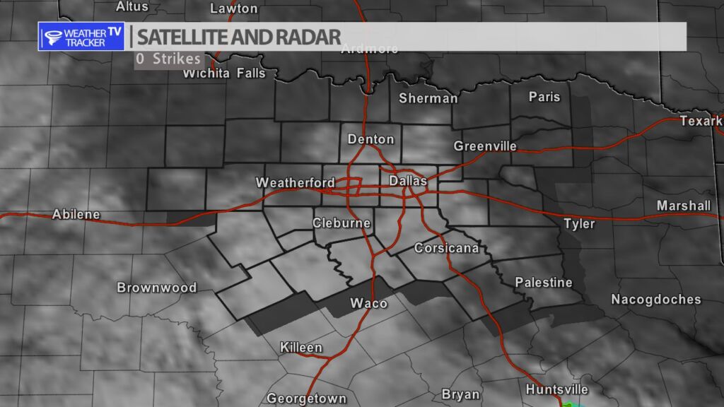
Here’s a look at Live Temperatures across North Texas, Local Radar and the Updated Forecast Map.
DFW today Mostly sunny. Not as cool with highs in the lower 40s. North winds 10 to 15 mph. Wind chill values as low as 12 this morning. -William


It’s finally Friday and North Texans are ready for the weekend. The good news is while there are rain and storm chances this weekend – most of the weekend turns out great – weather wise. Scattered clouds linger through the weekend with a breezy south wind and warm daytime highs. An isolated shower or two is possible on Saturday – most of us stay completely dry. A cold front approaches late on Sunday with an opportunity of storms in the evening and overnight.

Here’s a look at Live Temperatures across North Texas, MesoScan Radar and the Updated Forecast Map.
DFW THIS AFTERNOON Partly sunny. Highs in the mid 70s. South winds 10 to 15 mph. -William


Cloud cover will linger through most of the day. A few peaks of sun are possible this afternoon. Rich Gulf of Mexico moisture is returning to Texas on breezy south winds. The clouds and increasing humidity will hold temperatures down a few degrees compared to the last several afternoons.


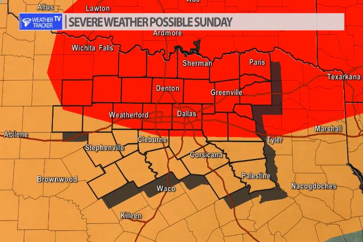
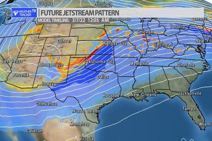
You’ll enjoy warm temperatures this weekend – but by late on Sunday with our next cold front approaching from the north and a Jetstream storm system arriving – the warm temperatures and increasing humidity will create just enough instability that storms will form near the front. First, by evening, in the Red River Valley and then a line of storms will push through North Texas as we go deeper into the overnight. Quarter to half dollar sized hail and winds to 60 mph are the primary concerns. As always – live severe weather coverage will be available on Weather Tracker TV as needed Sunday night.

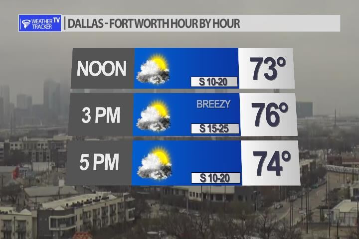
Happy Friday. Expect a cloudier day today with breezy south winds blowing Gulf of Mexico moisture back into the area. Highs in the Metroplex will still be well above normal for this time of year.

