SEVERE RISK THIS EVENING

Today’s Severe Risk Map

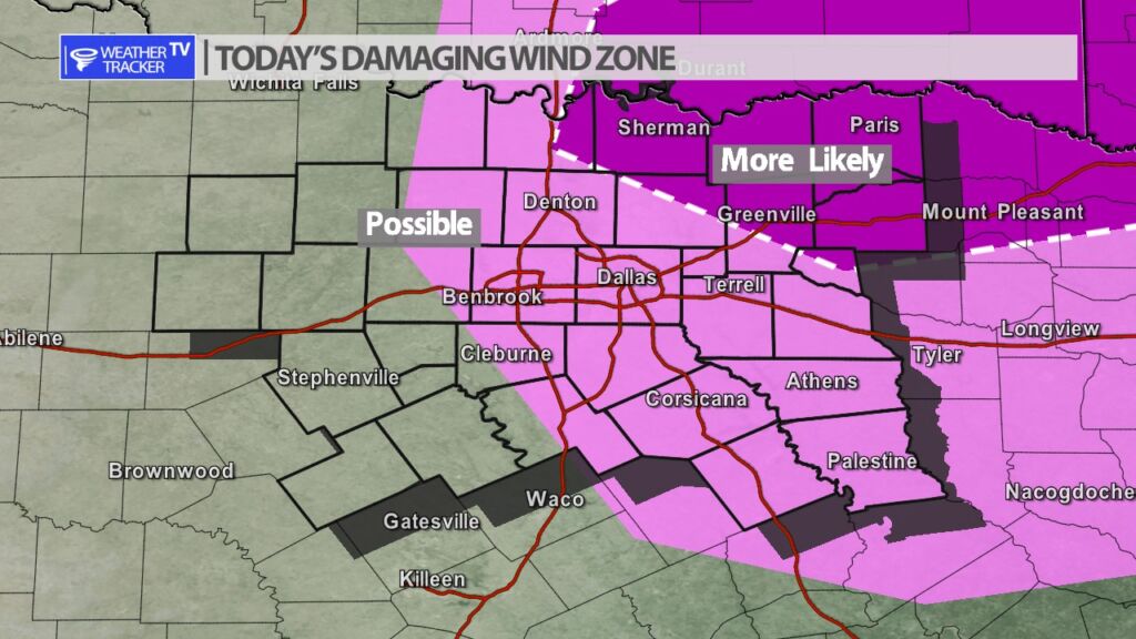
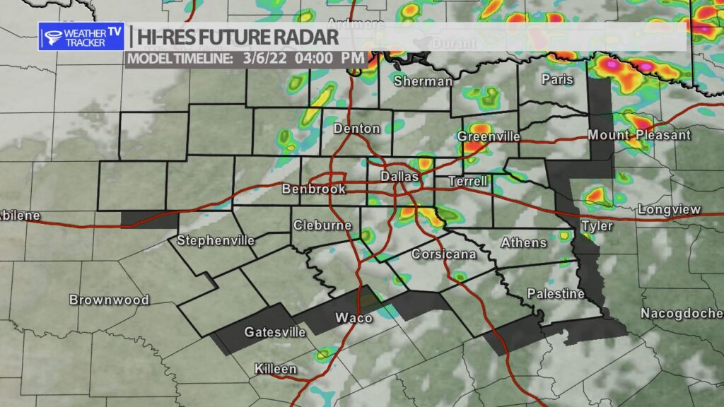
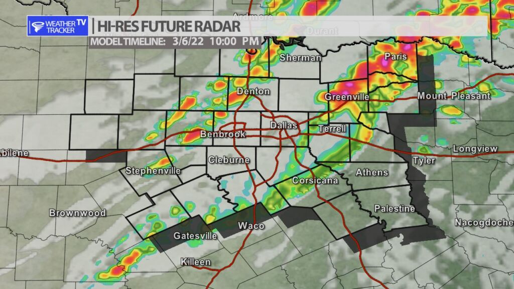
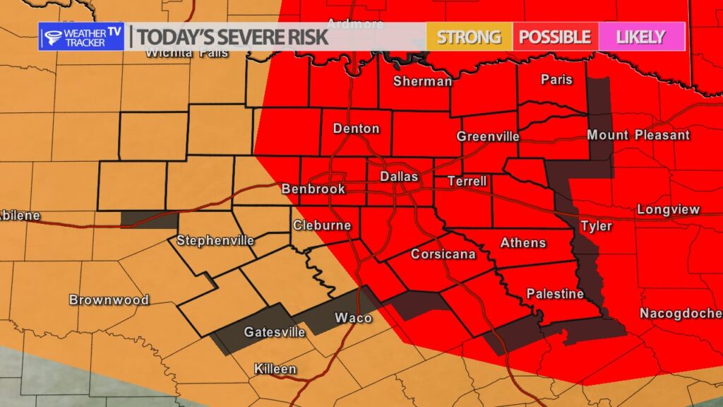
A cold front is moving into North Texas today and it along with a strong upper level storm system will be the trigger for scattered showers and thunderstorms this afternoon – and then a broken line of storms by late evening. There is a risk of severe weather – mainly this evening across parts of North Texas. Quarter to half dollar sized hail and winds to 60 mph are the primary concerns. The tornado risk is very low. We’ll have more updates on the app through the day and of course as always severe weather coverage on the channel as needed.

Today’s Damaging Wind Zone
Future Radar at 4 pm – Scattered showers and a few T-Storms
Future Radar 10 pm – A broke line of T-Storms – most likely time frame for severe weather.

Today’s North Texas Hazardous Weather Forecast

Texas Weather Tracker TV Alert

William’s North Texas Hazardous Weather Forecast for Sunday:

Shower and T-Storm activity will begin to increase this afternoon ahead of an approaching cold front. Some of these storms may become strong to severe this evening. The best chances for a severe T-Storms are across the area north and east of the DFW Metroplex. Quarter size hail and gusty winds appear to be the primary threat with any storm that does manage to become strong or severe.

North Texas Overnight Update

Texas Weather Tracker TV Alert

Here’s a look at Local Radar and Live Temperatures across North Texas.

DFW today Mostly cloudy with a 50 percent chance of showers. Highs in the upper 70s. South winds 10 to 15 mph, increasing to 15 to 20 mph with gusts up to 30 mph this afternoon.

Texas Weather Tracker TV Alert