
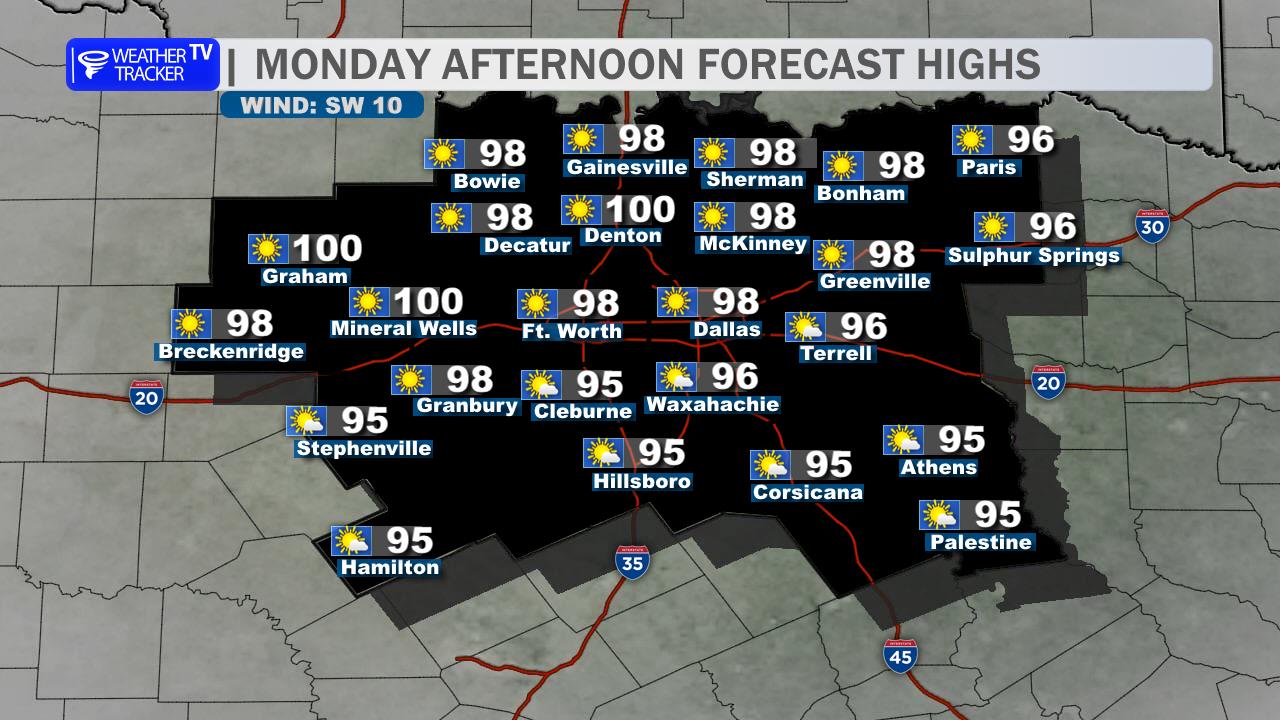
A warm October day is ahead across the Dallas–Fort Worth Metroplex. Expect mostly sunny skies, a steady south breeze, and afternoon highs near 90 to the lower 90s. A stray afternoon shower or storm cannot be ruled out west and south of Fort Worth, but most of DFW stays dry.
Tonight will be partly cloudy, muggy, and warm, with lows holding in the lower to middle 70s. Tuesday brings more heat and humidity, with a mix of sun and clouds and highs climbing into the lower to middle 90s.
Rain chances return Wednesday afternoon and become more meaningful Wednesday night into Thursday as scattered showers and a few thunderstorms move through North Texas. A cold front follows late Thursday or Friday, bringing a dramatic cooldown. Friday highs will drop into the lower to middle 70s, followed by crisp mornings in the 50s this weekend.
Keep an eye on the heat through midweek, then prepare for changing weather and possible rain late Wednesday through Thursday.
Stay with William Cole & Weather Tracker TV.
Let’s stay safe together.
Today

Today- Hourly

Today – Precipitation

Tonight

Tomorrow
You must be logged in to post a comment.