
Thursday brings a mix of clouds, heat, and scattered rain chances across the Dallas–Fort Worth Metroplex. A few showers may linger through the morning, but the better opportunity for thunderstorms arrives this afternoon. Coverage will be hit-or-miss, with the greatest rain chances generally south and east of the urban core. Highs reach the lower to middle 90s, while humidity pushes heat index values near 105 to 107 degrees in spots.
Tonight stays warm and humid, with lows in the lower to middle 70s. A few showers or storms may continue, especially during the evening, although not everyone will see rain.
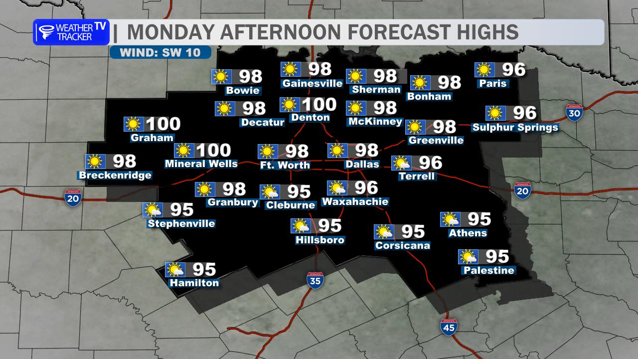
Friday turns mostly sunny and hot, with only a small chance for an early shower. Highs climb into the middle 90s, and the heat index may again reach 105. Even hotter weather builds this weekend, with upper 90s expected.
Have a way to receive weather alerts this afternoon and take heat precautions during outdoor activities.
Stay with William Cole & Weather Tracker TV.
Let’s stay safe together.
Today

Today- Hourly

Today – Precipitation

Tonight

Tomorrow
You must be logged in to post a comment.