
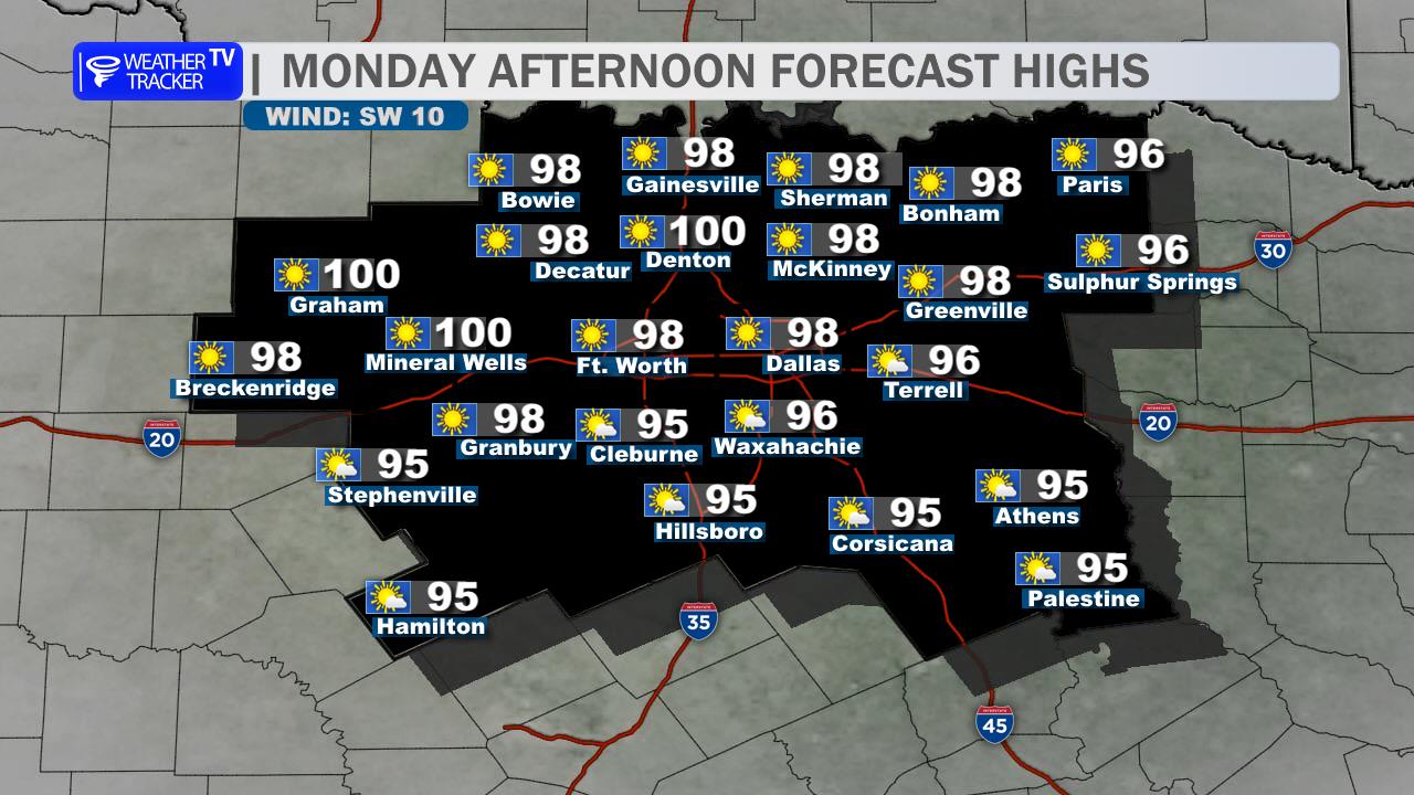
A hot early-September day is ahead across the Dallas–Fort Worth Metroplex. Expect plenty of sunshine with afternoon highs in the upper 90s, though a stray shower or thunderstorm cannot be ruled out, especially south and east of Dallas. Most locations will stay dry through the daytime hours.
Clouds will increase tonight, and rain chances will gradually rise after midnight. A few showers or isolated storms may move through, with the better odds generally east and southeast of the Metroplex. Lows will settle into the mid to upper 70s.
Thursday will bring more clouds, higher humidity, and scattered showers and thunderstorms. Rain coverage will not be widespread, but a few storms could briefly slow the commute or outdoor plans. Highs will be somewhat lower, mainly in the lower to mid 90s.
Plan for heat precautions today, then keep an eye on the radar tonight and Thursday.
Stay with William Cole & Weather Tracker TV.
Let’s stay safe together.
Today

Today- Hourly

Today – Precipitation

Tonight

Tomorrow
You must be logged in to post a comment.