
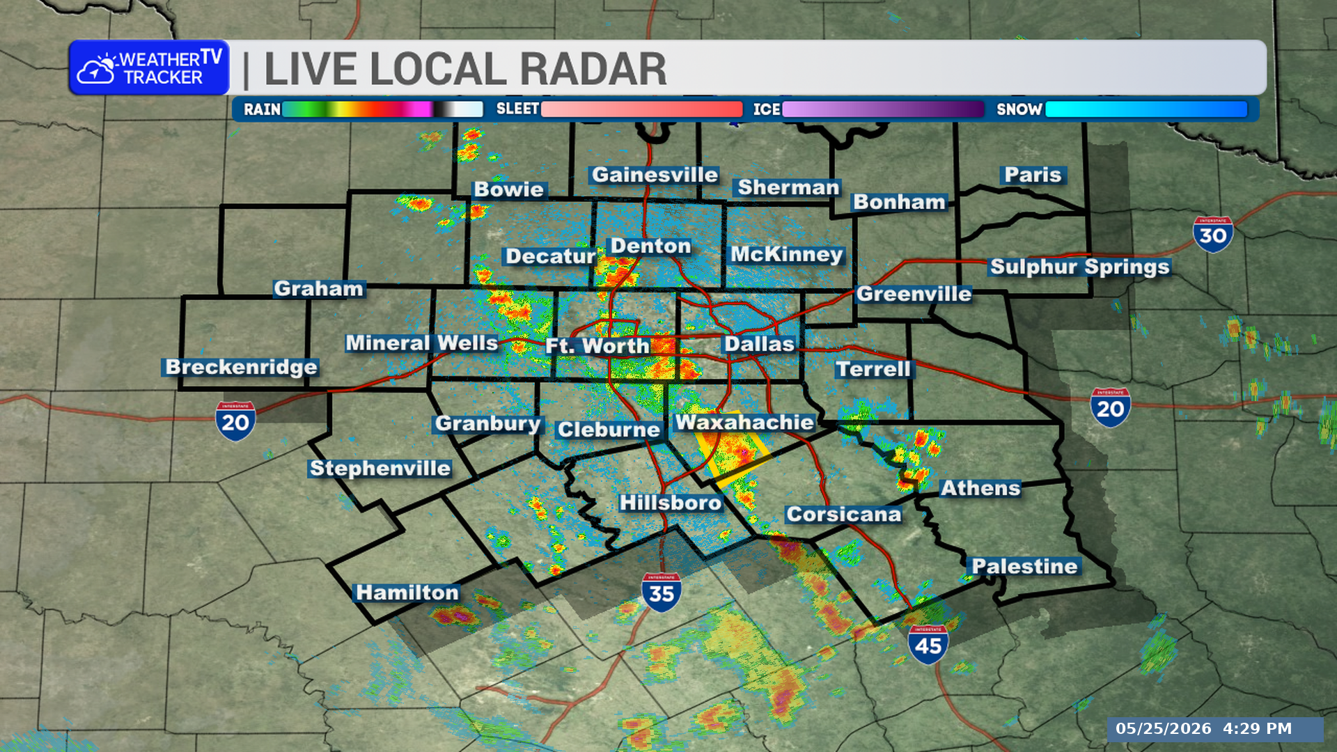
A strong thunderstorm is moving through part of North Texas this afternoon. Eastern Tarrant and western Dallas Counties could see gusty winds through 3:45 PM.
**Timing:**
– This alert is in effect through 3:45 PM.
– At 3:09 PM, radar showed the storm near Joe Pool Lake, moving north at 30 mph.
**What to Expect:**
– Wind gusts up to 50 mph.
– Radar indicated the storm.
**Potential Impacts:**
– Gusty winds could knock down tree limbs.
– Unsecured objects could be blown around.
**What to Do Now:**
– If you are outdoors, consider moving inside a building.
– Impacted areas include Dallas, Arlington, Irving, Grand Prairie, Carrollton, Mansfield, Euless, Bedford, Grapevine, Cedar Hill, Coppell, Duncanville, Farmers Branch, Southlake, University Park, Colleyville, Highland Park, Cockrell Hill, Pantego, and DFW Intl Airport.
– This includes Interstate 35E between mile markers 427 and 440.
– This includes Interstate 20 between mile markers 447 and 462.
– This includes Interstate 30 between mile markers 26 and 45.
Stay with William Cole and Weather Tracker TV.
Let’s stay safe together.
You must be logged in to post a comment.