
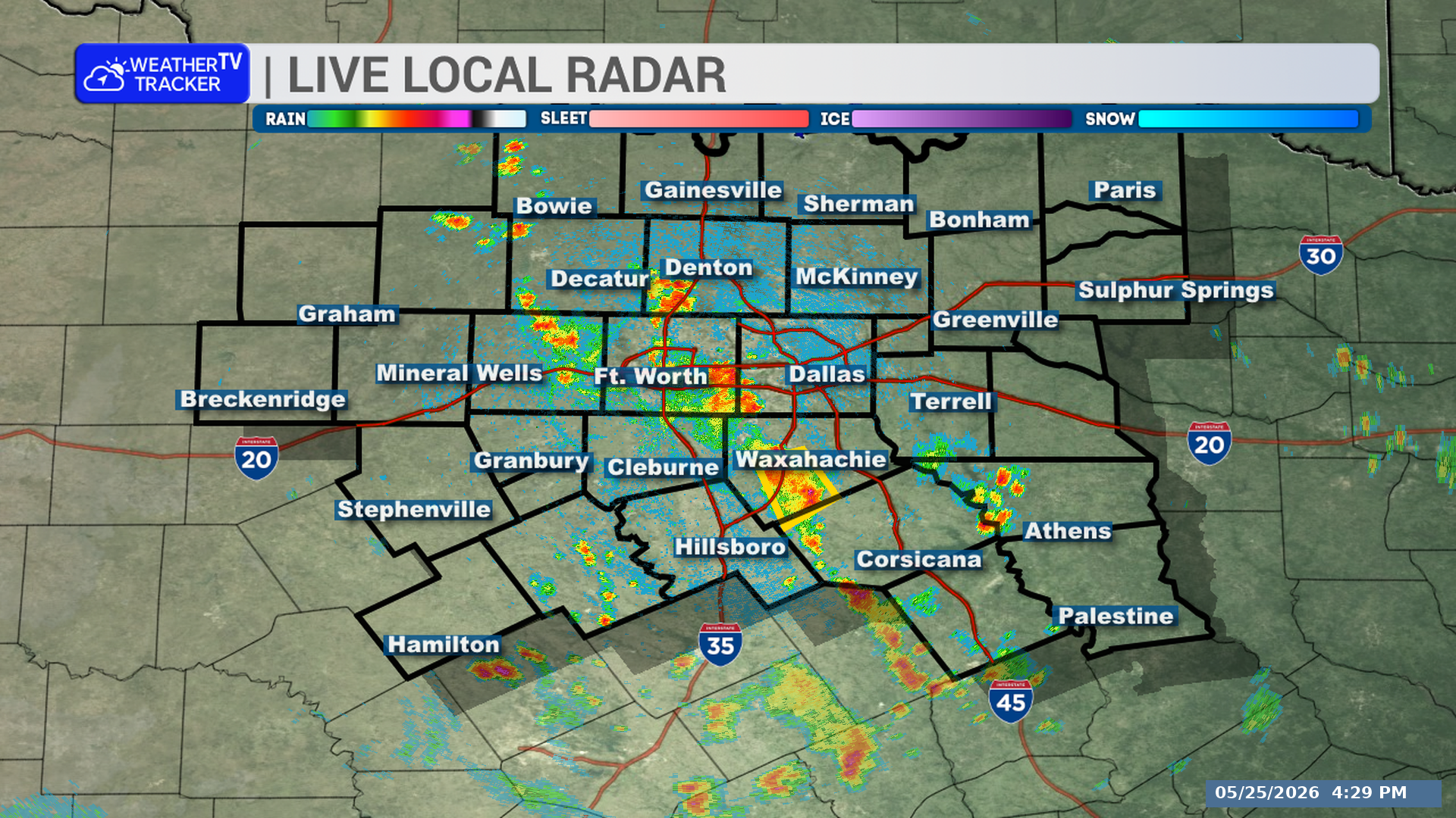
A strong thunderstorm is moving through part of North Texas early this morning. It will affect Delta and southwestern Lamar Counties through 2:15 AM, with gusty winds, small hail, heavy rain, and a risk of localized flooding.
**Timing:**
– At 1:39 AM, Doppler radar was tracking a strong thunderstorm over Roxton, or 15 miles southwest of Paris
– The storm is moving southeast at 10 mph
– It will impact portions of Delta and southwestern Lamar Counties through 2:15 AM
**What to Expect:**
– Wind gusts up to 50 mph
– Penny-size hail
– Torrential rainfall
**Potential Impacts:**
– Tree limbs could be knocked down
– Unsecured objects could be blown around
– Minor damage to outdoor objects is possible
– Localized flooding may develop
– This storm will remain mainly over rural areas, including Howland, Charleston, Lake Creek, Noble, Ben Franklin, Enloe, Pacio, Gadston, and Broadway Junction
**What to Do Now:**
– If you are outdoors, consider seeking shelter inside a building
– Do not drive through flooded roadways
Stay with William Cole and Weather Tracker TV.
Let’s stay safe together.
You must be logged in to post a comment.