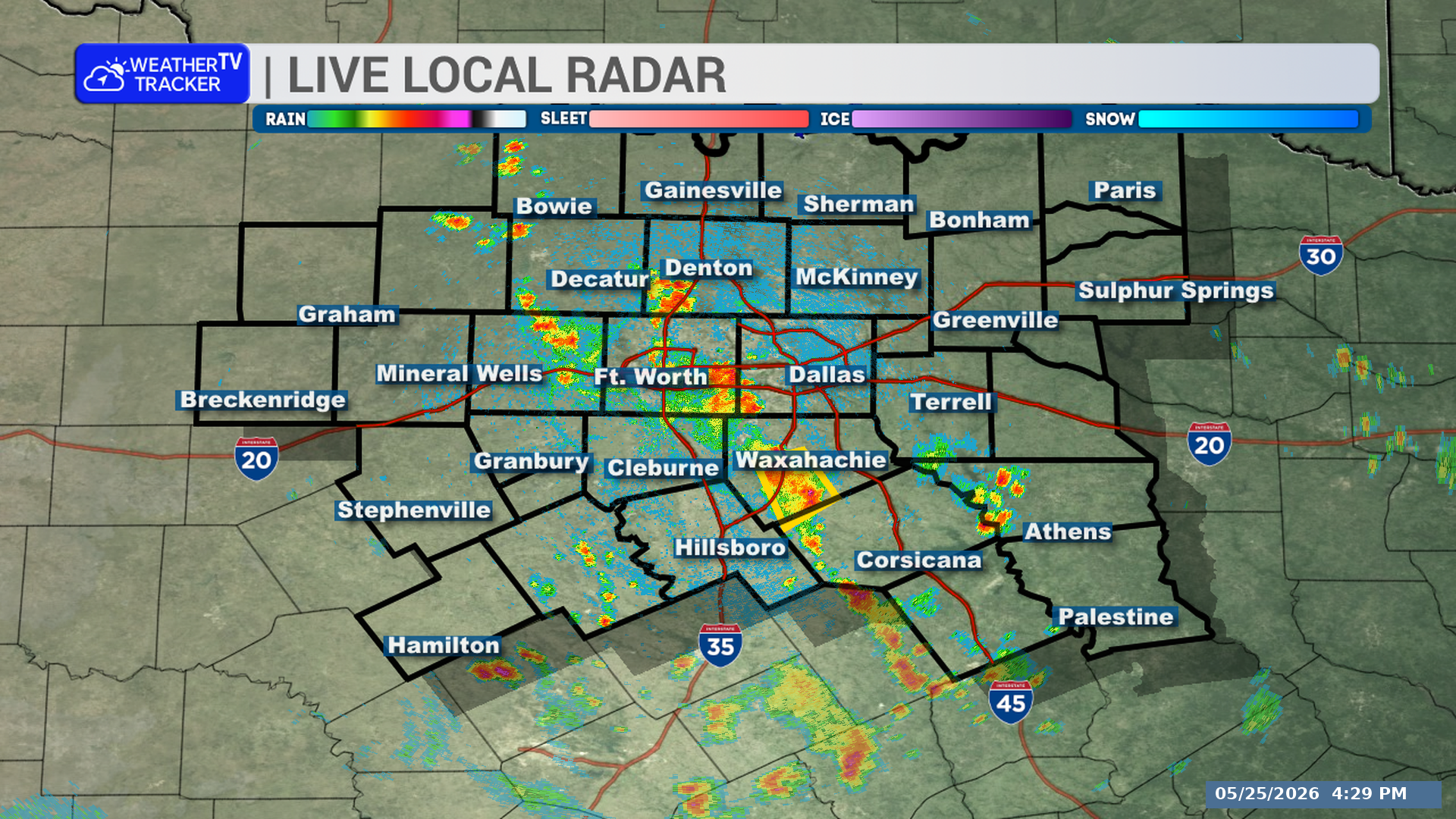
Strong wind gusts are moving through parts of North Texas this morning as an outflow boundary pushes south. The main concern is winds over 40 mph in southeastern Denton, eastern Parker, Tarrant, and western Dallas counties through 8:30 AM.
**Timing:**
– Through 8:30 AM
– At 7:53 AM, radar showed the outflow boundary from Hebron to near Saginaw to near Springtown, moving south at 20 mph
– Near 8:00 AM: Dallas, Fort Worth, Irving, Carrollton, Lewisville, Flower Mound, Bedford, Grapevine, Haltom City, and Keller
– Near 8:05 AM: Euless, Farmers Branch, Weatherford, White Settlement, Richland Hills, River Oaks, and Lake Weatherford
– Near 8:10 AM: Willow Park, Westworth Village, and Hudson Oaks
**What to Expect:**
– Winds in excess of 40 mph
– Radar indicated this outflow boundary
**Potential Impacts:**
– Gusty winds could knock down tree limbs
– Unsecured objects could be blown around
**What to Do Now:**
– If outdoors, consider seeking shelter inside a building
Stay with William Cole and Weather Tracker TV.
Let’s stay safe together.
You must be logged in to post a comment.