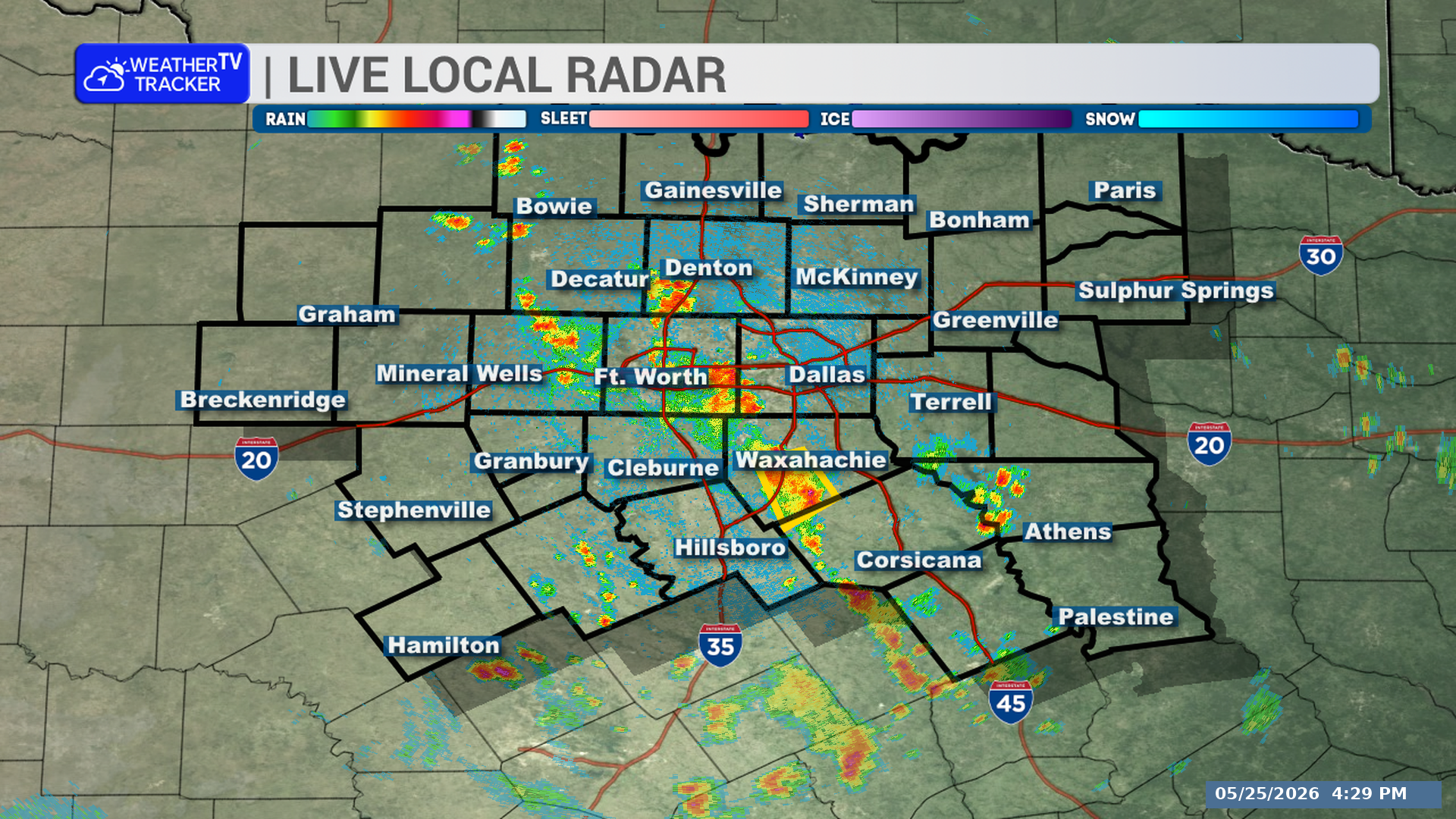
A severe thunderstorm warning remains in effect for North Texas until 6:00 PM, including Tarrant, western Dallas, northeastern Johnson, and northwestern Ellis counties. Storms were located from Grapevine to near Venus at 5:30 PM, moving west at 10 mph.
**Timing:**
– Warning remains in effect until 6:00 PM
– At 5:30 PM, storms were located along a line from Grapevine to near Venus
**What to Expect:**
– 60 mph wind gusts
– Quarter-size hail
– Heavy rainfall
**Potential Impacts:**
– Hail damage to vehicles is expected
– Wind damage to roofs, siding, and trees is expected
– Flash flooding may develop
**What to Do Now:**
– Do not drive through flooded roadways
– Be ready for strong winds and hail in the warned area
Stay with William Cole and Weather Tracker TV.
Let’s stay safe together.
You must be logged in to post a comment.