
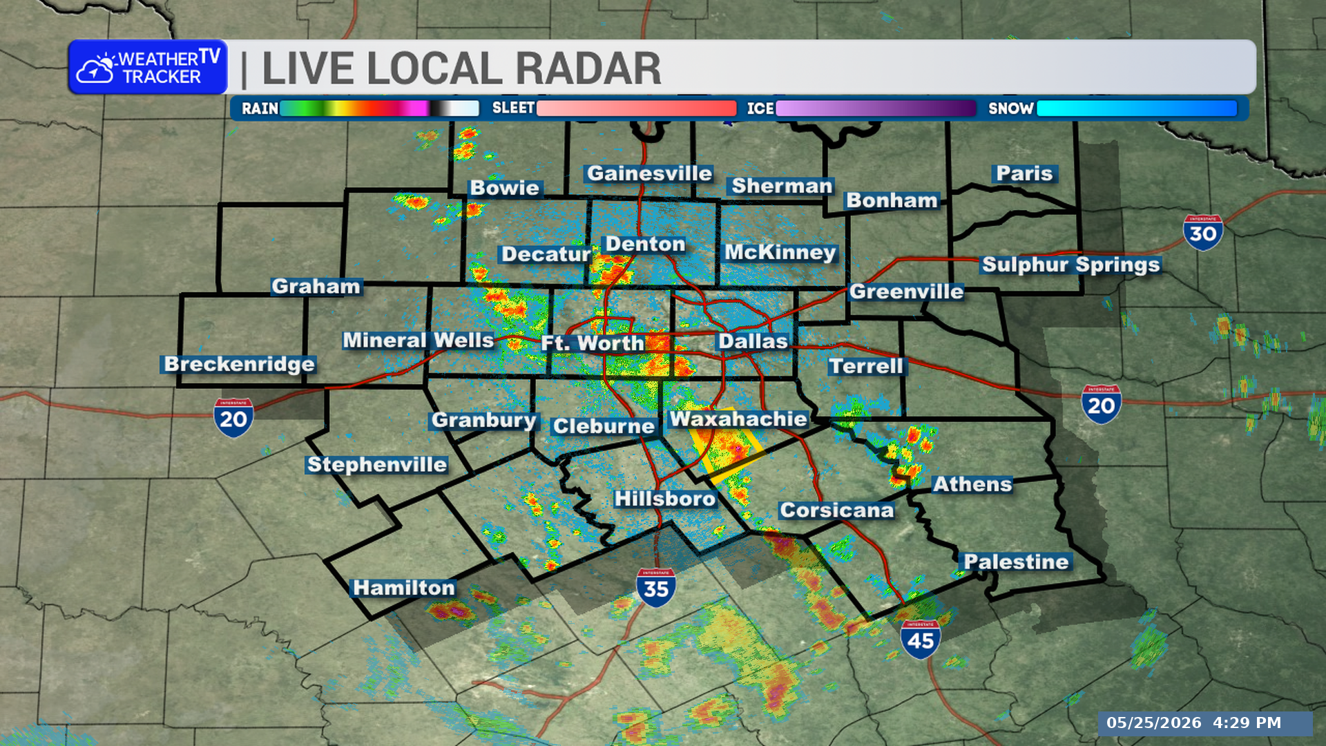
A strong thunderstorm is affecting parts of North Texas through 6:00 PM. The storm is mainly over rural areas and could bring strong wind gusts, small hail, heavy rain, and frequent lightning.
**Timing:**
– Through 6:00 PM
– At 5:27 PM, radar showed the storm 12 miles west of Fort Boggy State Park, or 25 miles northwest of Madisonville
– The storm was nearly stationary
**What to Expect:**
– Winds in excess of 40 mph
– Penny size hail
– Torrential rainfall
– Frequent cloud-to-ground lightning
**Potential Impacts:**
– Gusty winds could knock down tree limbs
– Unsecured objects could be blown around
– Minor damage to outdoor objects is possible
– Localized flooding may develop
– Lightning can strike up to 10 miles away from the storm
**What to Do Now:**
– If outdoors, consider seeking shelter inside a building
– Do not drive through flooded roadways
– Seek safe shelter inside a building or vehicle if lightning is nearby
– If on or near Lake Limestone, get out of the water and move indoors or into a vehicle now
– This storm will remain over mainly rural areas of south central Freestone, northeastern Robertson, southwestern Leon, and southeastern Limestone Counties, including Jewett, Seale, Donie, Robbins, Freestone, Redland, Farrar, Oletha, Marquez, and Leona
– This includes Interstate 45 between mile markers 155 and 158
Stay with William Cole and Weather Tracker TV.
Let’s stay safe together.
You must be logged in to post a comment.