
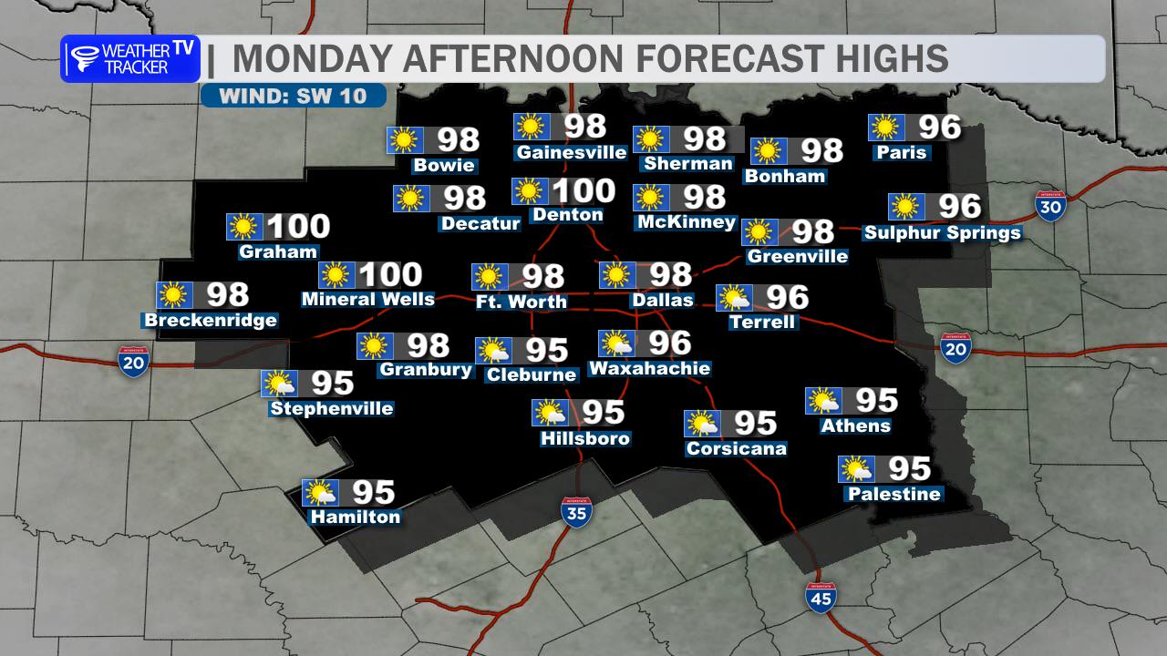
Dallas–Fort Worth will stay mostly sunny and hot today, with afternoon highs in the lower 90s. South winds will pick up to 10 to 15 mph, offering only limited relief from the late-September heat.
Tonight, clouds will steadily increase as warm, humid air continues to move into North Texas. Lows will settle in the mid-70s.
Wednesday will be another warm and humid day, with highs returning to the lower 90s. A few showers and thunderstorms may develop during the afternoon, especially west of Dallas and Fort Worth. Winds could gust near 30 mph at times.
The more widespread rain arrives Wednesday night and continues through Thursday. A Flood Watch begins Wednesday afternoon for the Metroplex, as repeated thunderstorms may produce heavy rainfall and localized flooding. Thursday will be much cooler, with highs mainly in the lower to middle 80s, but rain and storms will be widespread.
Plan for possible travel disruptions and avoid driving across flooded roads.
Stay with William Cole & Weather Tracker TV.
Let’s stay safe together.
Today

Today- Hourly

Today – Precipitation

Tonight

Tomorrow
You must be logged in to post a comment.