
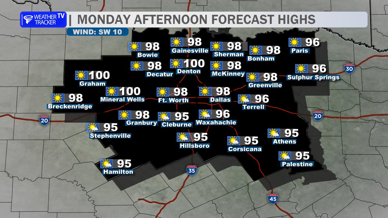
A late-September heat wave continues across the Dallas–Fort Worth Metroplex today. Expect mostly sunny skies, light east winds, and afternoon highs in the mid to upper 90s, with Dallas and the eastern side of the Metroplex nearing 100 degrees. A stray shower or thunderstorm cannot be ruled out west and south of Fort Worth this afternoon, but most neighborhoods will stay dry.
Tonight will turn partly to mostly cloudy, with warm lows in the lower to middle 70s. Any isolated evening storm activity should remain mainly west or southwest of the core Metroplex.
Thursday brings another hot, largely dry day. Morning clouds will give way to more sunshine, pushing highs back into the mid 90s. Friday looks similar, followed by continued heat through the weekend. Rain chances stay low until early next week, with better storm chances and slightly cooler temperatures possible by Tuesday.
Heat and ozone are the main concerns today. Limit strenuous outdoor activity during the hottest part of the afternoon.
Stay with William Cole & Weather Tracker TV.
Let’s stay safe together.
Today

Today- Hourly

Today – Precipitation

Tonight

Tomorrow
You must be logged in to post a comment.