
A strong thunderstorm is moving northeast across parts of eastern Tarrant and northwestern Dallas counties through 4:45 PM. Wind gusts up to 50 mph are possible.
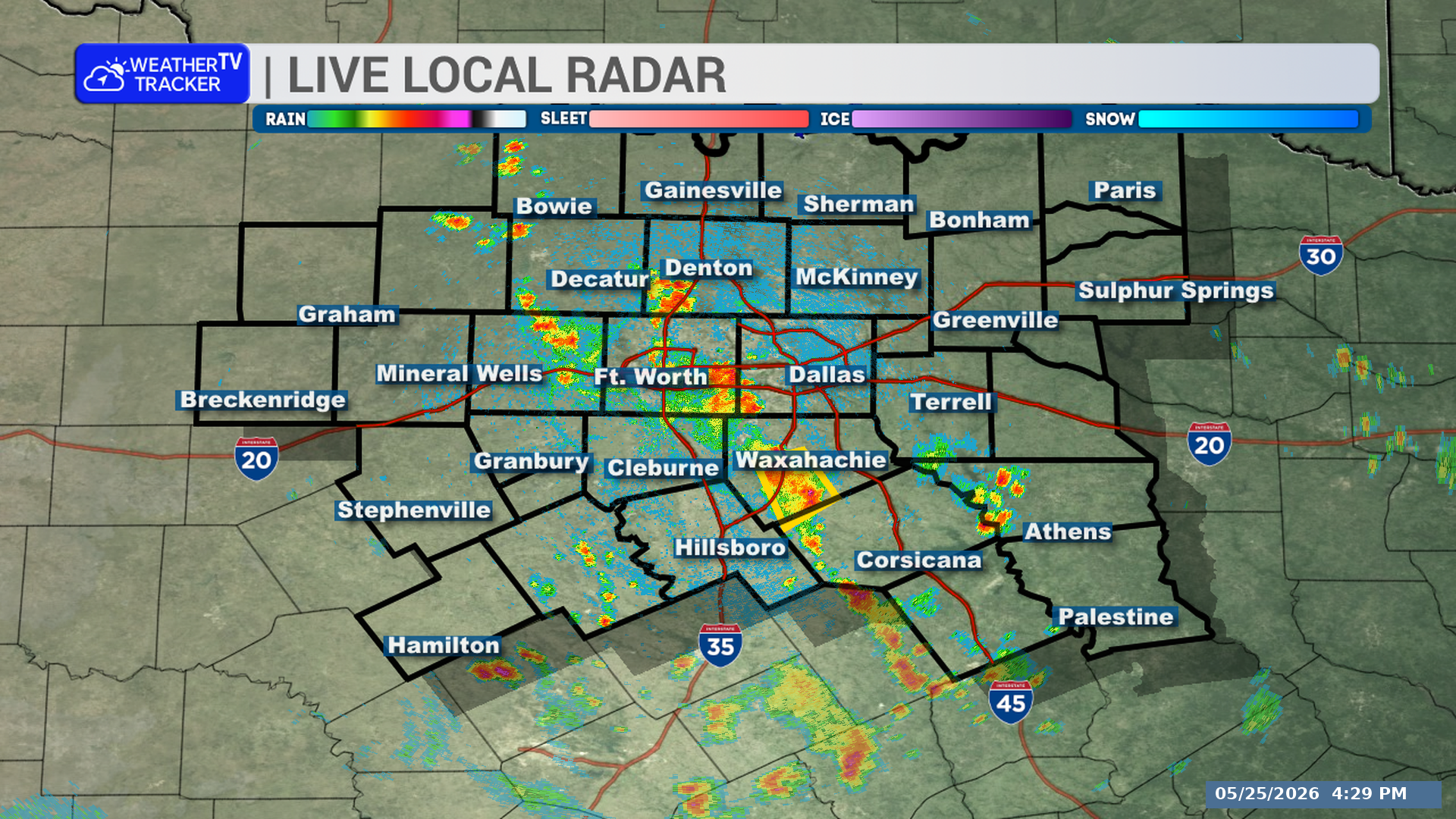
**Timing:**
– Through 4:45 PM
– Near Fort Worth, Arlington, and Pantego around 4:10 PM
– Near Hurst around 4:25 PM
– Near Euless and Bedford around 4:30 PM
**What to Expect:**
– Wind gusts up to 50 mph
– The storm is moving northeast at 10 mph
**Potential Impacts:**
– Gusty winds could knock down tree limbs.
– Unsecured outdoor objects could be blown around.
– Minor damage to outdoor objects is possible.
– Areas near Lake Arlington, Mountain Creek Lake, Dalworthington Gardens, and Grapevine Lake may be impacted.
– Travel could be affected along Interstate 35W between mile markers 50 and 58, Interstate 20 between mile markers 439 and 461, and Interstate 30 between mile markers 15 and 40.
**What to Do Now:**
– If you are outdoors, consider moving inside a building.
– Monitor local radio and television for updates and possible National Weather Service warnings.
Stay with William Cole and Weather Tracker TV.
Let’s stay safe together.
You must be logged in to post a comment.