
A strong thunderstorm is moving through parts of North Texas this afternoon and could bring wind gusts up to 50 mph. The storm is affecting Rockwall, northwestern Hunt, and eastern Collin counties through 2:15 PM.
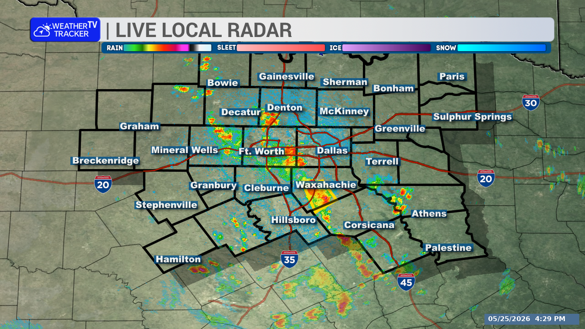
**Timing:**
– The storm was located over Fate at 1:29 PM
– It is moving northeast at 30 mph
– Through 2:15 PM
– Near Royse City around 1:35 PM
– Near Farmersville around 1:50 PM
– Near Merit around 2:00 PM
**What to Expect:**
– Wind gusts up to 50 mph
– Radar indicated this storm
**Potential Impacts:**
– Gusty winds could knock down tree limbs
– Unsecured objects could be blown around
– This includes Interstate 30 between mile markers 68 and 92, and near mile marker 95
– Other impacted locations include Kellogg, Frognot, Kingston, Clinton, Blue Ridge, Floyd, Josephine, Lavon, Copeville, and Nevada
**What to Do Now:**
– If you are outdoors, consider moving inside a building for shelter
Stay with William Cole and Weather Tracker TV.
Let’s stay safe together.
You must be logged in to post a comment.