
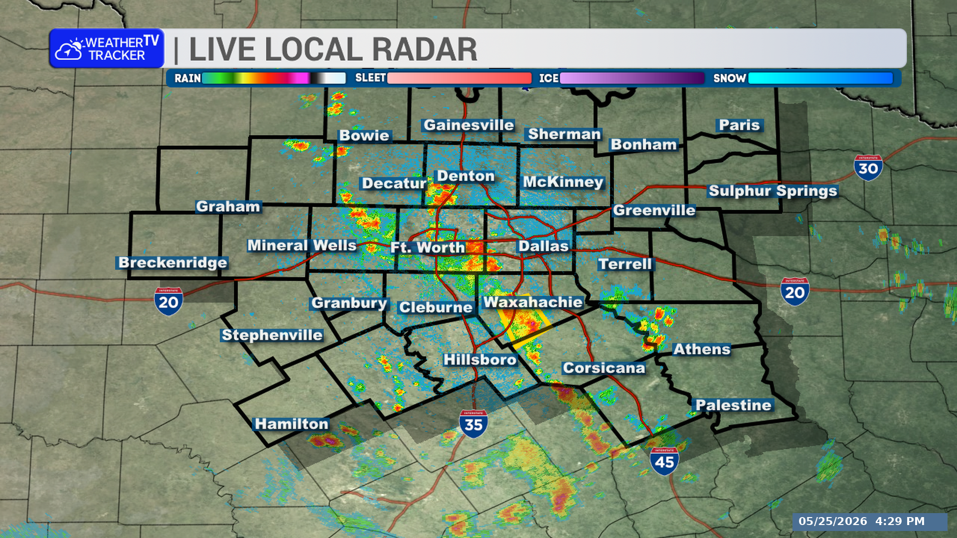
A strong thunderstorm is moving through part of North Texas this evening. It will affect northwestern McLennan, southeastern Bosque, and southwestern Hill Counties through 6:30 PM.
**Timing:**
– Issued at 5:59 PM
– Storm expected through 6:30 PM
**What to Expect:**
– At 5:59 PM, radar showed a strong thunderstorm near Laguna Park, or about 12 miles east of Clifton
– Moving south at 10 mph
– Winds in excess of 40 mph
– Penny-size hail
– Torrential rainfall
– Frequent cloud-to-ground lightning
**Potential Impacts:**
– Gusty winds could knock down tree limbs
– Unsecured objects could be blown around
– Minor damage to outdoor objects is possible
– Localized flooding may develop
– Lightning can strike 10 miles away from the storm
**What to Do Now:**
– If you are outdoors, consider seeking shelter inside a building
– Do not drive through flooded roadways
– Seek a safe shelter inside a building or vehicle if lightning is nearby
Stay with William Cole and Weather Tracker TV.
Let’s stay safe together.
You must be logged in to post a comment.