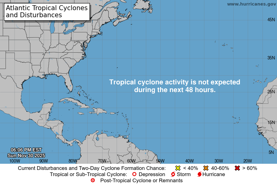
From the National Hurricane Center:
For the North Atlantic Caribbean Sea and the Gulf of America:Active Systems:The National Hurricane Center is issuing advisories on HurricaneGabrielle, located over the central subtropical Atlantic.Central and Western Tropical Atlantic (AL93):Shower and T-Storm activity associated with a tropical wavelocated a little less than 1000 miles east of the Lesser Antillescontinues to show signs of organization. Environmental conditionsare forecast to be favorable for development over the next severaldays, and a tropical depression is likely to form by the latter halfof this week while the system moves west-northwestward tonorthwestward into the western tropical Atlantic.* Formation chance through 48 hours medium 50 percent.* Formation chance through 7 days high 90 percent.East of the Leeward Islands (AL94):A tropical wave is producing a large area of disorganized showersand T-Storms, and gusty winds across much of the Windward andLeeward Islands. This wave is expected to move west-northwestwardat 15 to 20 mph, spreading heavy rainfall and gusty winds intoPuerto Rico and the Virgin Islands tonight and Wednesday. Thesystem is then expected to slow down and turn northwestward when itreaches the southwestern Atlantic near the Bahamas late this week,and a tropical depression could form when the disturbance is in thatregion. Interests in the Virgin Islands, Puerto Rico, the Turks andCaicos Islands, and the Bahamas should monitor the progress of thissystem.* Formation chance through 48 hours low 20 percent.* Formation chance through 7 days medium 60 percent.Forecaster Cangialosi/Papin
