July 2025
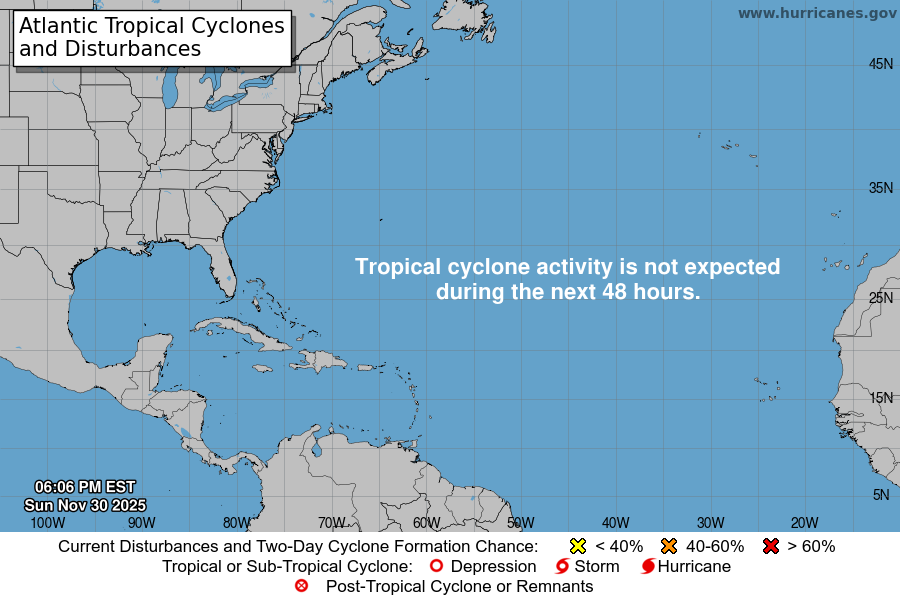
Atlantic Tropical Weather Outlook
Atlantic Tropical Weather Outlook
Atlantic Tropical Weather Outlook
Atlantic Tropical Weather Outlook
NOW UPDATE | Saturday 6:36 PM Denton & Tarrant Counties
From William Cole: A strong T-Storm will impact portions of southwestern Denton and northeastern Tarrant Counties through 700 PM
At 636 PM , Live Radar was tracking a strong T-Storm over Watauga, moving north at 5 mph.
Winds In Excess Of 40 Mph. Gusty Winds Could Knock Down Tree Limbs And Blow Around Unsecured Objects.
Stay with William Cole and Weather Tracker TV Dallas – Fort Worth for continuing coverage, online, on our app and on TV. Let’s stay safe together.
NOW UPDATE | Saturday 6:13 PM Palo Pinto County
From William Cole: A strong T-Storm will impact portions of southeastern Palo Pinto County through 645 PM
At 613 PM , Live Radar was tracking a strong T-Storm near Lake Palo Pinto, or 13 miles southwest of Mineral Wells, moving west at 10 mph.
Winds In Excess Of 40 Mph And Half Inch Hail. Gusty Winds Could Knock Down Tree Limbs And Blow Around Unsecured Objects. Minor Damage To Outdoor Objects Is Possible.
Stay with William Cole and Weather Tracker TV Dallas – Fort Worth for continuing coverage, online, on our app and on TV. Let’s stay safe together.
Atlantic Tropical Weather Outlook
NOW UPDATE | Friday 7:27 PM Limestone County
From William Cole: A strong T-Storm will impact portions of northeastern Robertson and central Limestone Counties through 800 PM
At 727 PM , Live Radar was tracking a strong T-Storm 8 miles southwest of Teague, moving west at 10 mph.
Winds In Excess Of 40 Mph And Pea Size Hail. Gusty Winds Could Knock Down Tree Limbs And Blow Around Unsecured Objects. Minor Damage To Outdoor Objects Is Possible.
Stay with William Cole and Weather Tracker TV Dallas – Fort Worth for continuing coverage, online, on our app and on TV. Let’s stay safe together.
Atlantic Tropical Weather Outlook

From the National Hurricane Center:
For the North Atlantic Caribbean Sea and the Gulf of America:Northwestern Gulf:A broad area of low pressure located about 100 miles south of thecoast of southwestern Louisiana continues to produce disorganizedshowers and T-Storms. This system is moving west-northwestwardtoward the Texas coast, and it has limited time to develop before itmoves inland tonight. Regardless of formation, locally heavyrainfall is likely over portions of the northwestern Gulf coastduring the next couple of days.* Formation chance through 48 hours low 10 percent.* Formation chance through 7 days low 10 percent.Forecaster Cangialosi