6:38 PM | Flood Advisory Dallas & Tarrant Counties until 9:00 PM

Texas Weather Tracker TV Alert

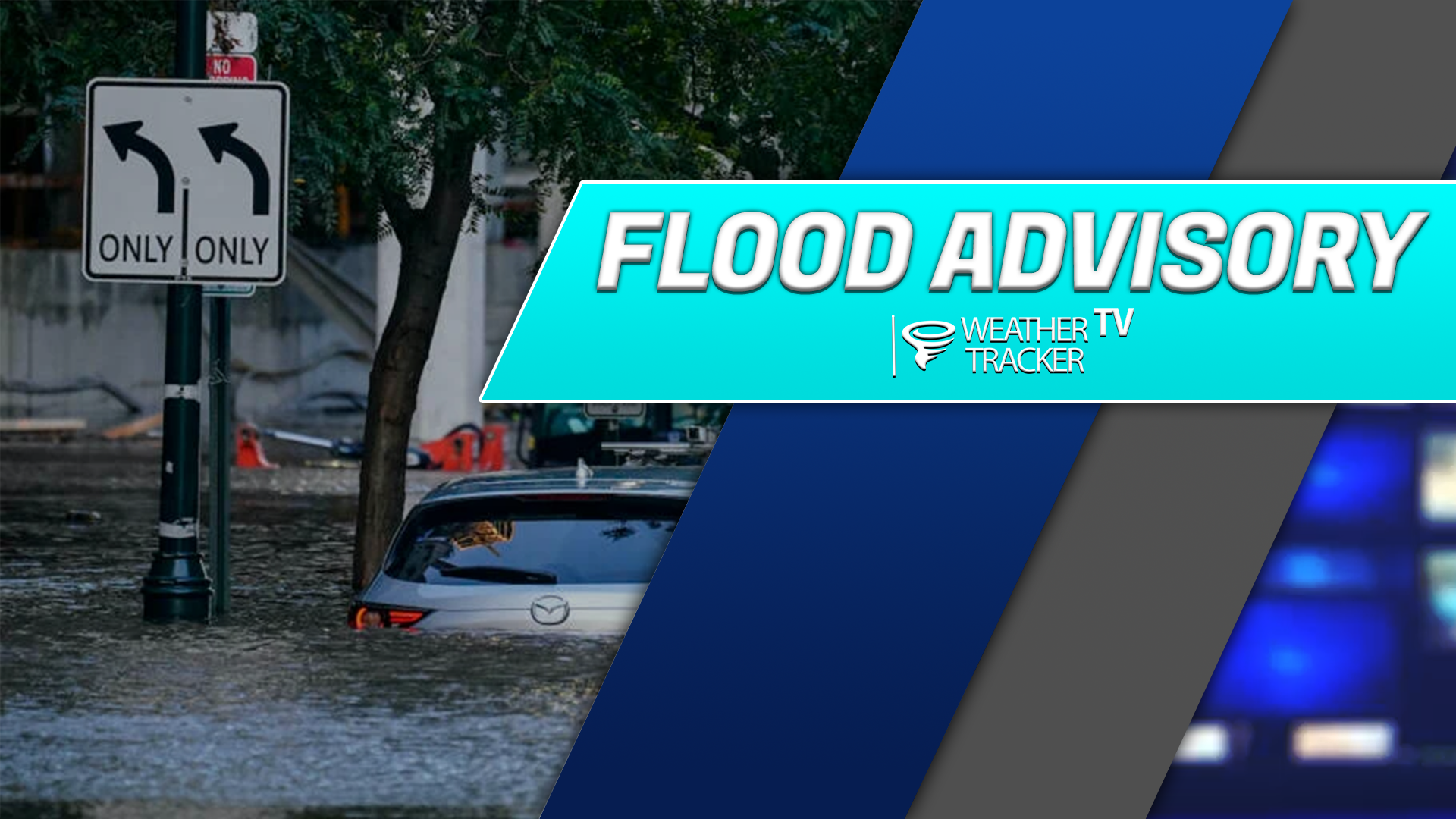
From William Cole: A Flood Advisory has been issued for Dallas & Tarrant Counties in the Dallas – Fort Worth Metroplex until 9:00 PM. Ponding on the roadways and localized street flooding is possible.

Remember if you see water across a roadway do not drive through it. Turn Around Don’t Drown.

Stay with William Cole and Weather Tracker TV Dallas – Fort Worth for continuing coverage, online, on our app and on TV. Let’s stay safe together.

Your Support Helps

ALERT 6:11 PM | Flash Flood Warning Jack & Wise Counties until 8:15 PM Monday

Texas Weather Tracker TV Alert

From William Cole: A Flash Flood Warning has been issued in the Weather Tracker TV DFW coverage area for Jack & Wise Counties in North Texas until 8:15 PM.

At 611 PM , Live Radar indicated T-Storms producing heavy rain across the warned area. Between 2 and 3 inches of rain have fallen. Additional rainfall amounts of 1 to 2 inches are forecast. Flash flooding is ongoing or expected to begin shortly.

Remember if you see water across a roadway do not drive through it. Turn Around Don’t Drown.

Stay with William Cole and Weather Tracker TV Dallas – Fort Worth for continuing coverage, online, on our app and on TV. Let’s stay safe together.

Your Support Helps

5:50 PM | T-Storm Warning Dallas, Johnson & Tarrant Counties until 6:30 PM Monday

Texas Weather Tracker TV Alert

From William Cole: A T-Storm Warning has been issued in the Weather Tracker TV DFW coverage area for Dallas, Johnson & Tarrant Counties in North Texas until 6:30 PM.

At 550 PM , a severe T-Storm was located over Everman, moving northeast at 40 mph.

Hometowns Impacted: Edgecliff Village, Edgecliff, Rendon, Kennedale, Fort Worth, Arlington, Forest Hill, And Everman Around 555 Pm . Pantego Around 600 Pm . Euless And Hurst Around 610 Pm . Grand Prairie And Bedford Around 615 Pm . Irving, Colleyville, Grapevine, And Dfw Intl Airport Around 620 Pm .

Primary Threats: Quarter Size Hail.

Stay with William Cole and Weather Tracker TV Dallas – Fort Worth for continuing coverage, online, on our app and on TV. Let’s stay safe together.

Your Support Helps

NOW UPDATE | Monday 5:33 PM Johnson & Tarrant Counties

Texas Weather Tracker TV Alert

From William Cole: A strong T-Storm will impact portions of northern Johnson and southern Tarrant Counties through 600 PM

At 532 PM , Live Radar was tracking a strong T-Storm near Joshua, moving northeast at 30 mph.

Winds In Excess Of 40 Mph And Penny Size Hail. Gusty Winds Could Knock Down Tree Limbs And Blow Around Unsecured Objects. Minor Damage To Outdoor Objects Is Possible.

Stay with William Cole and Weather Tracker TV Dallas – Fort Worth for continuing coverage, online, on our app and on TV. Let’s stay safe together.

Your Support Helps

5:14 PM | Flood Advisory Tarrant County until 7:30 PM

Texas Weather Tracker TV Alert

From William Cole: A Flood Advisory has been issued for Tarrant County in the Dallas – Fort Worth Metroplex until 7:30 PM. Ponding on the roadways and localized street flooding is possible.

Remember if you see water across a roadway do not drive through it. Turn Around Don’t Drown.

Stay with William Cole and Weather Tracker TV Dallas – Fort Worth for continuing coverage, online, on our app and on TV. Let’s stay safe together.

Your Support Helps

NOW UPDATE | Monday 4:56 PM Johnson County

Texas Weather Tracker TV Alert

From William Cole: A strong T-Storm will impact portions of northwestern Johnson County through 530 PM

At 455 PM , Live Radar was tracking a strong T-Storm near Cleburne State Park, or 9 miles west of Cleburne, moving northeast at 30 mph.

Winds In Excess Of 40 Mph And Penny Size Hail. Gusty Winds Could Knock Down Tree Limbs And Blow Around Unsecured Objects. Minor Damage To Outdoor Objects Is Possible.

Stay with William Cole and Weather Tracker TV Dallas – Fort Worth for continuing coverage, online, on our app and on TV. Let’s stay safe together.

Your Support Helps

NOW UPDATE | Monday 4:51 PM Jack County

Texas Weather Tracker TV Alert

From William Cole: A strong T-Storm will impact portions of northern Jack County through 515 PM

At 451 PM , Live Radar was tracking a strong T-Storm 11 miles northwest of Jacksboro, moving northeast at 25 mph.

Winds In Excess Of 40 Mph And Nickel Size Hail. Gusty Winds Could Knock Down Tree Limbs And Blow Around Unsecured Objects. Minor Damage To Outdoor Objects Is Possible.

Stay with William Cole and Weather Tracker TV Dallas – Fort Worth for continuing coverage, online, on our app and on TV. Let’s stay safe together.

Your Support Helps