Here’s a look at our Monday planner for the DFW Metroplex.

Here’s a look at our Monday planner for the DFW Metroplex.

DFW today Cloudy this morning, then becoming partly sunny. Patchy fog this morning. A 20 percent chance of showers and T-Storms. Much warmer with highs in the lower 80s. West winds 5 to 10 mph. -William

Here’s a look at our Monday morning commute in the DFW Metroplex.


Here’s a look at Local Radar and Live Temperatures across North Texas.
DFW the rest of tonight: Cloudy. Patchy fog. Lows in the mid 60s. Southeast winds 5 to 10 mph.

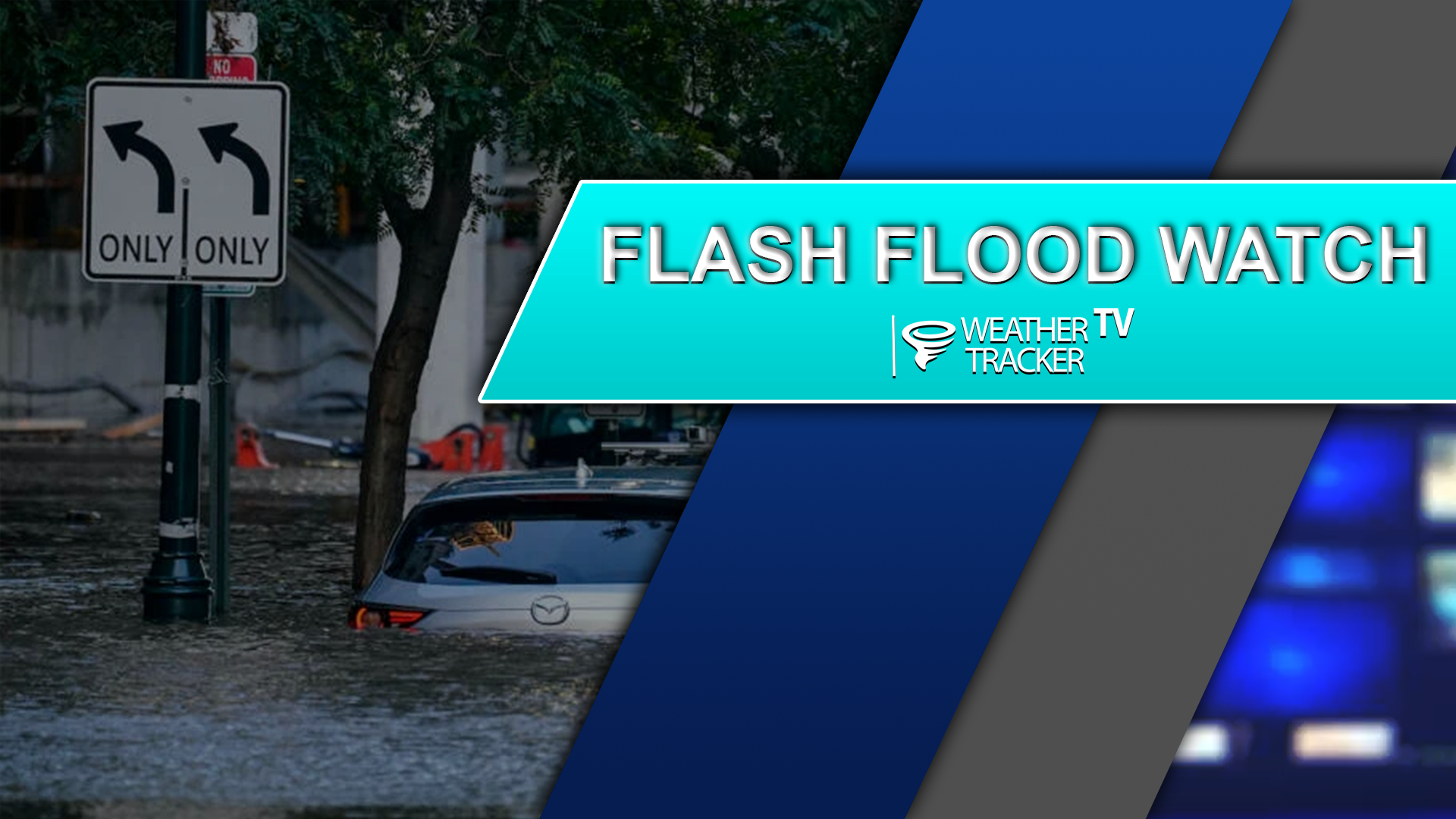
From William Cole: A Flood Watch has been extended for the following counties in North Texas until 7:00 PM Monday. Anderson, Freestone, Henderson & Navarro.
WHAT Flooding caused by excessive rainfall continues to be possible. WHERE Areas roughly south of Interstate 20 and east of Interstate 35. WHEN Through this evening. IMPACTS Excessive runoff may result in flooding of rivers, creeks, streams, and other low-lying and flood-prone locations. Area creeks and streams are running high and could flood with additional heavy rainfall. ADDITIONAL DETAILS – Additional rainfall totals of 1 to 2 inches possible through late this afternoon.
Stay with William Cole and Weather Tracker TV Dallas – Fort Worth for continuing coverage, online, on our app and on TV.


William’s North Texas Hazardous Weather Forecast this Evening:
T-Storms will be possible through the evening with most storms ending overnight. Heavy rainfall and flooding will continue to be the primary hazard. However, a few storms could produce hail and gusty winds.
Here’s a look at our Sunday late evening planner for the DFW Metroplex.


From William Cole: A strong T-Storm will impact portions of central Anderson County through 730 PM
At 652 PM , Live Radar was tracking a strong T-Storm near Montalba, or near Palestine, moving east at 40 mph.
Penny Size Hail. Minor Damage To Outdoor Objects Is Possible.
Stay with William Cole and Weather Tracker TV Dallas – Fort Worth for continuing coverage, online, on our app and on TV. Let’s stay safe together.
Here is a look at Actual Highs from around North Texas today.

Actual Highs from around the Dallas – Fort Worth Metroplex today.

Today’s complete DFW Almanac.

Here’s a look at the Sunday evening planner for the DFW Metroplex.
