July 2023
Friday’s North Texas Forecast
Friday’s Fire Weather Forecast

The current Burn Ban Map for Texas is posted above.
ELEVATED FIRE THREAT THIS AFTERNOON ALONG AND WEST OF I-35
…ELEVATED FIRE THREAT THIS AFTERNOON ALONG AND WEST OF I-35… * LOCATION…ALONG AND WEST OF I-35. * TIMING…FRIDAY AFTERNOON. * WINDS…SOUTH-SOUTHEAST 8 TO 12 MPH WITH GUSTS TO 20 MPH. * TEMPERATURES…BETWEEN 100 AND 105 DEGREES. * RELATIVE HUMIDITY…20 TO 25 PERCENT. EXTREME CARE IS URGED DURING ALL OUTSIDE ACTIVITIES WHERE THERE IS A POTENTIAL FOR GRASS FIRES TO GET STARTED. AVOID OUTSIDE BURNING AND WELDING. DO NOT TOSS LIT CIGARETTE BUTTS OUTSIDE. REPORT WILDFIRES TO THE NEAREST FIRE DEPARTMENT OR LAW ENFORCEMENT OFFICE QUICKLY.
North Texas Overnight Update
This Evenings North Texas Hazardous Weather Forecast
Thursday Night Forecast for the Dallas – Fort Worth Metroplex
DFW Early Thursday Afternoon Update
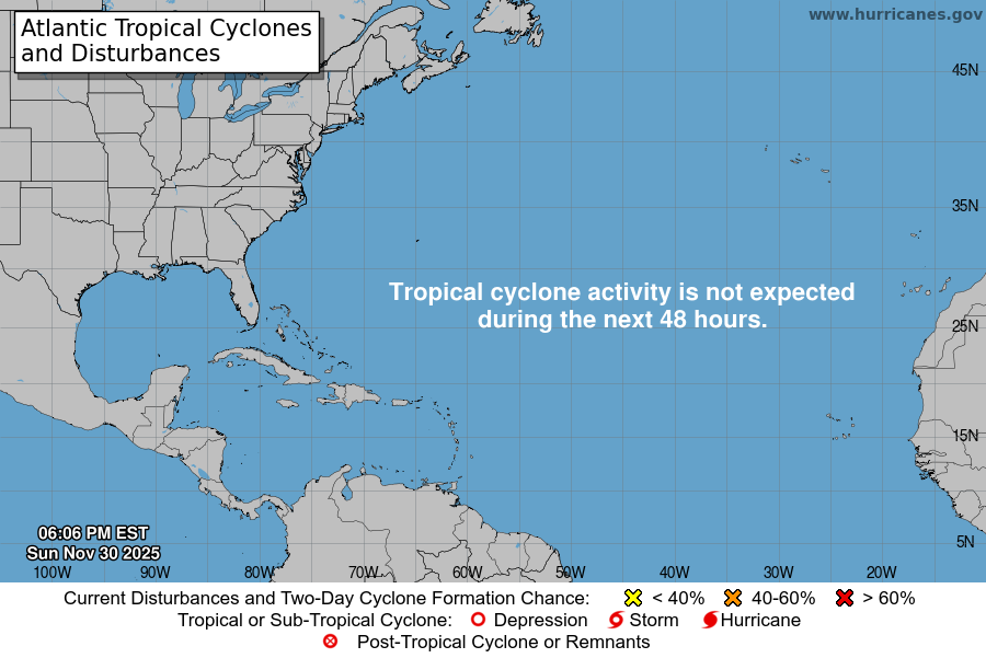
Atlantic Tropical Weather Outlook

From the National Hurricane Center:
For the North Atlantic Caribbean Sea and the Gulf of Mexico:Eastern Atlantic:A tropical wave is located a few hundred miles to the southwest ofthe Cabo Verde Islands. Conditions are expected to be favorablefor gradual development of this system later this week, and atropical depression could form over the weekend or early next weekwhile it moves westward to west-northwestward over the tropicalAtlantic.* Formation chance through 48 hours low near 0 percent.* Formation chance through 7 days medium 40 percent.Forecaster Beven