July 2023
Saturday’s Fire Weather Forecast

The current Burn Ban Map for Texas is posted above.
ELEVATED FIRE THREAT THIS AFTERNOON ALONG AND WEST OF I-35
…ELEVATED FIRE THREAT THIS AFTERNOON ALONG AND WEST OF I-35… * LOCATION…ALONG AND WEST OF I-35. * TIMING…THIS AFTERNOON. * TEMPERATURES…BETWEEN 100 AND 105 DEGREES. * WINDS…SOUTHWEST 5 TO 10 MPH BECOMING SOUTHEAST AROUND 10 MPH THIS AFTERNOON. * HUMIDITY…AROUND 20% DURING PEAK HEATING. EXTREME CARE IS URGED DURING ALL OUTSIDE ACTIVITIES WHERE THERE IS A POTENTIAL FOR GRASS FIRES TO GET STARTED. AVOID OUTSIDE BURNING AND WELDING. DO NOT TOSS LIT CIGARETTE BUTTS OUTSIDE. REPORT WILDFIRES TO THE NEAREST FIRE DEPARTMENT OR LAW ENFORCEMENT OFFICE QUICKLY.
North Texas Overnight Update
This Evenings North Texas Hazardous Weather Forecast
Friday Night Forecast for the Dallas – Fort Worth Metroplex
ALERT 1:28 PM | An Air Quality Alert has been issued for the DFW Metroplex for Saturday July 29
From William Cole: A Air Quality Alert has been issued for the following counties in North Texas until Saturday July 29. Collin, Dallas, Denton, Ellis, Henderson, Hunt, Johnson, Kaufman, Parker, Rockwall, Tarrant & Wise.
OZONE ACTION DAY The Texas Commission on Environmental Quality (TCEQ) has issued an Ozone Action Day for the Dallas-Fort Worth area for Saturday, July 29, 2023. Atmospheric conditions are expected to be favorable for producing high levels of ozone air pollution in the Dallas-Fort Worth area on Saturday. You can help prevent ozone pollution by sharing a ride, walking, riding a bicycle, taking your lunch to work, avoiding drive-through lanes, conserving energy, and keeping your vehicle properly tuned. For more information on ozone: Ozone: The Facts (www.tceq.texas.gov/goto/ozonefacts) Air North Texas: (www.airnorthtexas.org) EPA Air Now (www.airnow.gov/index.cfm?action.local_state&STATEID=45&TAB=0) Take care of Texas (www.takecareoftexas.org) North Central Texas Council of Governments Air Quality (www.nctcog.org/trans/air/index.asp)
Stay with William Cole and Weather Tracker TV Dallas – Fort Worth for continuing coverage online, on our free mobile app and on TV thru Roku, Apple and Amazon Fire TV.
DFW Early Friday Afternoon Update
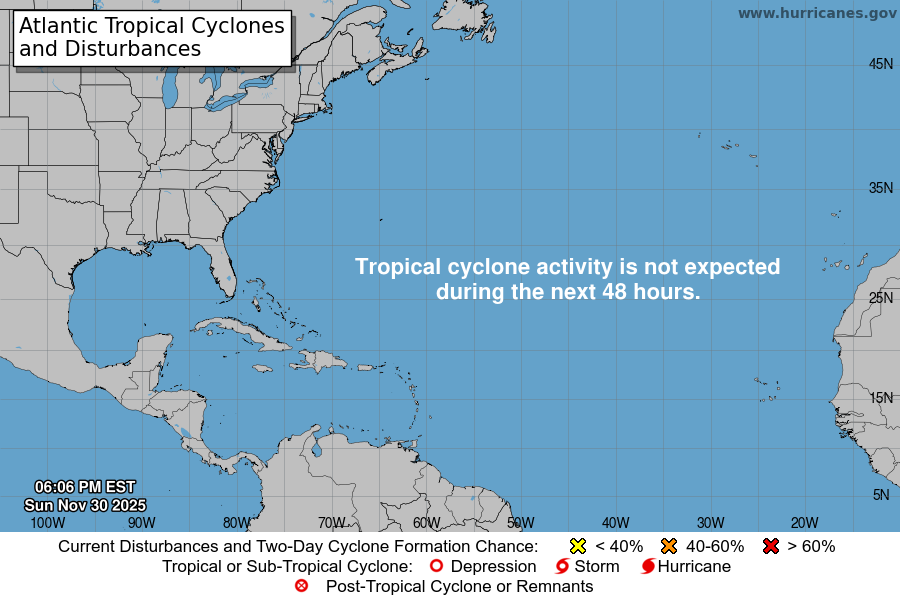
Atlantic Tropical Weather Outlook

From the National Hurricane Center:
For the North Atlantic Caribbean Sea and the Gulf of Mexico:Central Tropical Atlantic:Shower and T-Storm activity associated with a tropical wavelocated about midway between the Cabo Verde Islands and the LesserAntilles has increased since yesterday. Environmental conditionsare expected to be favorable for additional gradual development ofthis system during the next few days, and a tropical depressioncould form early next week while the system moves generallywest-northwestward over the tropical Atlantic.* Formation chance through 48 hours low 20 percent.* Formation chance through 7 days medium 60 percent.Southwestern Atlantic:Disorganized showers and T-Storms over the far western Atlanticnear the coasts of Georgia and northeastern Florida are associatedwith a weak area of low pressure that has formed just east ofJacksonville. This system is moving north-northwestward and isforecast to move inland over northeastern Florida and easternGeorgia today, and additional development is not expected.Regardless of development, locally heavy rainfall is possible overnortheastern Florida, eastern Georgia, and portions of eastern SouthCarolina during the next day or so.* Formation chance through 48 hours low near 0 percent.* Formation chance through 7 days low near 0 percent.Southwestern Caribbean Sea:A large area of disorganized showers and T-Storms over thesouthwestern Caribbean Sea is associated with a tropical wave andbroad area of low pressure. This system is forecast to movewestward over Central America later today or tonight, andsignificant development is not anticipated. Regardless ofdevelopment, locally heavy rainfall is possible over portions ofNicaragua and Honduras during the next day or so.* Formation chance through 48 hours low 10 percent.* Formation chance through 7 days low 10 percent.Forecaster Brown