May 2023
NOW UPDATE | Monday 10:33 PM Stephens County
From William Cole: Strong T-Storms will impact portions of Eastland and Stephens Counties through 1130 PM
At 1033 PM , Live Radar was tracking strong T-Storms along a line extending from near Ibex to near Moran to 7 miles southeast of Eula. Movement was east at 25 mph.
Wind Gusts Of 50 To 55 Mph And Pea Size Hail. Gusty Winds Could Knock Down Tree Limbs And Blow Around Unsecured Objects. Minor Damage To Outdoor Objects Is Possible.
Stay with William Cole and Weather Tracker TV Dallas – Fort Worth for continuing coverage, online, on our app and on TV. Let’s stay safe together.
This Evenings North Texas Hazardous Weather Forecast
ALERT 7:00 PM | T-Storm Watch until 1:00 AM Tuesday
From William Cole: A T-Storm Watch has been issued in the Weather Tracker TV DFW coverage area for the following counties until 1:00 AM Tuesday. Erath, Palo Pinto, Stephens & Young.
We’ll have Live Severe Weather Coverage on the channel – which includes Texas’ #1 Storm Chasing Team – as needed. Be sure to download our free Weather Tracker TV DFW mobile app and add our Live channel to your Roku, Apple or Amazon Fire TV device.
Stay with William Cole and Weather Tracker TV Dallas – Fort Worth for continuing coverage, online, on our app and on TV. Let’s stay safe together.
Monday Night Forecast for the Dallas – Fort Worth Metroplex
DFW Early Monday Afternoon Update
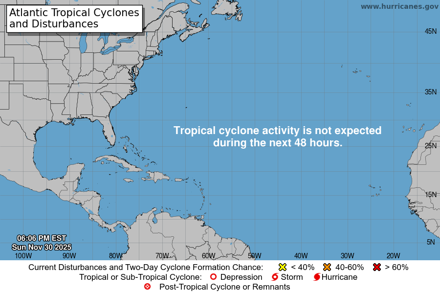
Atlantic Tropical Weather Outlook

From the National Hurricane Center:
For the North Atlantic Caribbean Sea and the Gulf of Mexico:Southwestern Atlantic:Showers and a few T-Storms associated with a broad area of lowpressure located a couple of hundred miles northeast of the centralBahamas remain poorly organized. Strong upper-level winds and dryair are expected to prevent development while the system movesgenerally north-northeastward at 5 to 10 mph over the southwesternAtlantic during the next day or so.* Formation chance through 48 hours low 10 percent.* Formation chance through 7 days low 10 percent.Forecaster Brown/Bucci