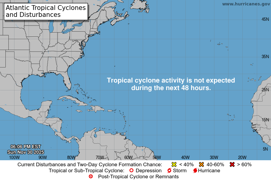
From the National Hurricane Center:
For the North Atlantic Caribbean Sea and the Gulf of Mexico:Central Caribbean:A broad area of low pressure over the central Caribbean Seacontinues to produce disorganized showers and T-Storms.However, overnight satellite wind data suggest the circulation isgradually becoming better defined. Environmental conditions areforecast to be conducive for additional development, and a tropicaldepression is likely to form in the next couple of days while thesystem moves west-northwestward at 10 to 15 mph over the central andnorthwestern Caribbean Sea. Interests in Jamaica should monitor theprogress of this system. NOAA and Air Force Reserve Hurricane Hunteraircraft will be investigating the system this morning. Regardlessof development, locally heavy rainfall is possible over portions ofthe Lesser Antilles, the Virgin Islands, Puerto Rico, Hispaniola,and Jamaica during the next couple of days.* Formation chance through 48 hours high 70 percent.* Formation chance through 5 days high 80 percent.Western Atlantic:Shower and T-Storm activity has increased in association withan area of low pressure area located a little more than 100 milesnortheast of Bermuda. However, this system is forecast to interactand merge with a nearby frontal zone as upper-level winds increaseover the system. Thus, subtropical or tropical development of thissystem remains unlikely.* Formation chance through 48 hours low 10 percent.* Formation chance through 5 days low 10 percent.Forecaster Papin