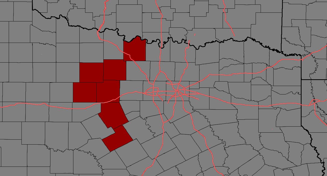
From William Cole: A Severe T-Storm Warning has been issued in the Weather Tracker TV DFW coverage area for Collin, Dallas, Hunt, Kaufman, Rains, Rockwall & Van Zandt Counties in North TX until 11:15 PM.
At 1029 PM , severe T-Storms were located along a line extending from 6 miles south of Campbell to near Royse City, moving southeast at 65 mph.
Hometowns Impacted: Dallas, Plano, Garland, Mesquite, Mckinney, Frisco, Richardson, Allen, Rowlett, Wylie, Rockwall, Lancaster, Greenville, Balch Springs, Sachse, Terrell, Seagoville, Forney, Commerce And Kaufman.
Primary Threats: 60 Mph Wind Gusts And Nickel Size Hail.
Stay with William Cole and Weather Tracker TV Dallas – Fort Worth for continuing coverage, online, on our app and on TV. Let’s stay safe together.