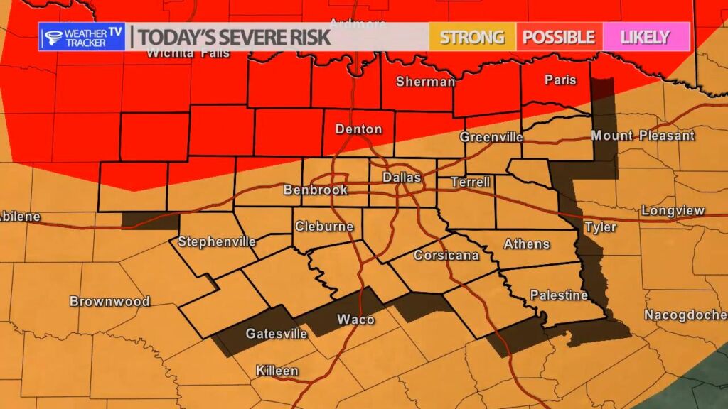
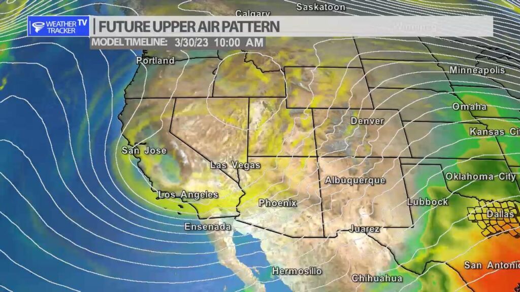
The risk of severe weather returns to North Texas today and tomorrow as a strong upper level storm system approaches from the west. Today scattered showers and a few T-Storms are possible – it’s essentially a 30% probability through the day of scattered activity. A few of the storms could be severe with a half dollar sized hail threat. A few showers are also possible overnight.
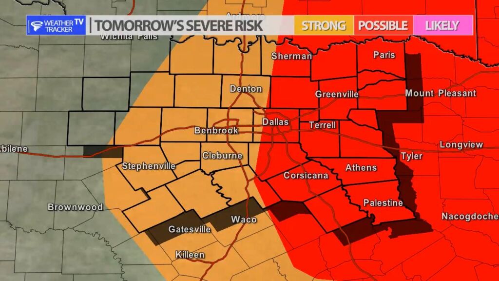
Friday as a cold front moves across the area – storms will try and form from the I-35 corridor to the east. It’s a 40% probability in the Metroplex. There is a better opportunity in our eastern and southeastern counties. Any activity on Friday will organize into a line of storms and push southeast. Severe weather is possible with a half dollar sized hail and winds to 60 MPH threat.
You must be logged in to post a comment.