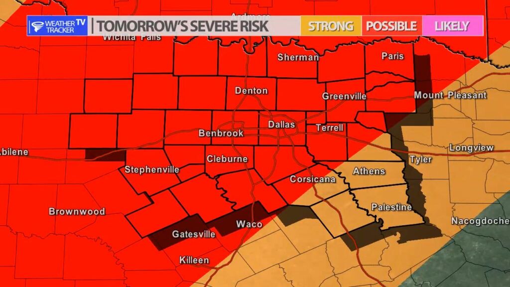
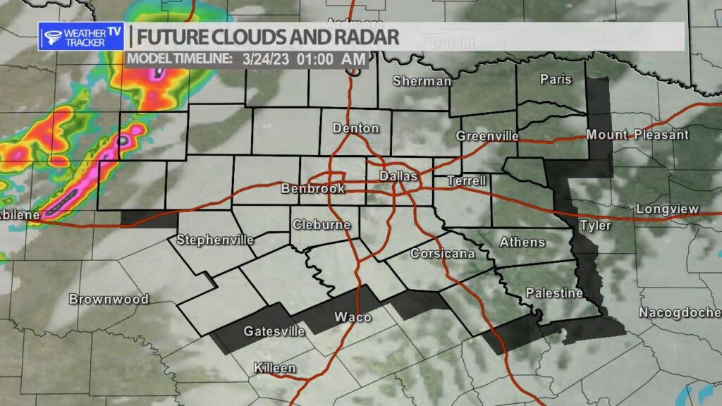
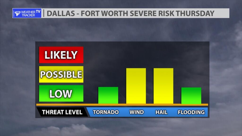
The risk of severe weather returns to North Texas tomorrow Thursday, BUT the timeline appears to be changing with the newest data this morning. Showers and even a few rumbles of thunder may be possible during the day – we’ll watch any activity during the late afternoon carefully – it could be severe with a large hail threat. The risk of more widespread organized severe weather doesn’t begin until late evening. As a dryline approaches from the west and a cold front from the north – storms will develop in the Big Country and move across North Texas Thursday night and early Friday morning as a broken line. The main concern still appears to be damaging hail up to the size of golf balls and wind gusts over 60 MPH. Because this appears to be more of a late evening and overnight set up – make sure you have a way to receive weather warnings overnight – a weather radio with a tone or alarm is always best.
You must be logged in to post a comment.