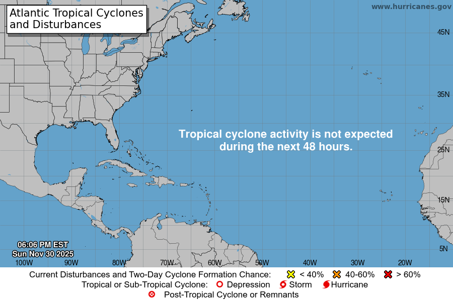
From the National Hurricane Center:
For the North Atlantic Caribbean Sea and the Gulf of Mexico:Eastern Caribbean:A broad area of low pressure over the southeastern Caribbean Seais producing a large area of disorganized showers and T-Stormsextending from the Windward Islands west-northwestward for severalhundred miles. Environmental conditions are forecast to beconducive for gradual development over the next few days, and atropical depression is likely to form this weekend or earlynext week while the disturbance moves slowly westward orwest-northwestward over the central Caribbean Sea. Regardless ofdevelopment, locally heavy rainfall is possible over portions ofthe Lesser Antilles, the Virgin Islands, and Puerto Rico throughthis weekend.* Formation chance through 48 hours low 20 percent.* Formation chance through 5 days high 70 percent.Southwestern Atlantic:A large area of cloudiness and showers extending from near Bermudasouthward over the western Atlantic for several hundred miles isassociated with a trough of low pressure. A broad area of lowpressure is expected to form along the northern portion of thetrough axis later today, but environmental conditions are forecastto be only marginally conducive, and any development should be slowto occur. By late Saturday, upper-level winds are forecast tobecome even less favorable for development, and the low is expectedto begin interacting with an approaching frontal system.* Formation chance through 48 hours low 20 percent.* Formation chance through 5 days low 20 percent.Forecaster Brown
You must be logged in to post a comment.