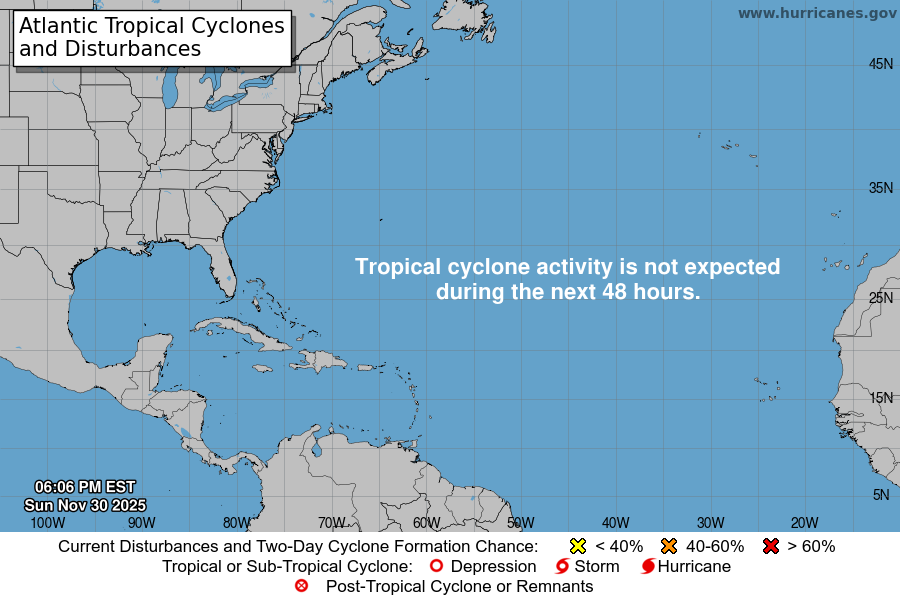
From the National Hurricane Center:
For the North Atlantic Caribbean Sea and the Gulf of Mexico:East of the Windward Islands:The National Hurricane Center is issuing advisories on PotentialTropical Cyclone Two, located a few hundred miles east of thesouthern Windward Islands.* Formation chance through 48 hours high 70 percent.* Formation chance through 5 days high 90 percent.Northern Gulf of Mexico:An area of low pressure is centered over the northwestern Gulf ofMexico. Shower and T-Storm activity associated with the low hasincreased overnight but remains disorganized. Some additionaldevelopment of this system is possible as it moves slowly westwardor west-southwestward and approaches the coast of Texas during thenext two days. Regardless of development, heavy rain will bepossible along portions of the Texas coast later this week. For moreinformation about the potential for heavy rain, please see productsissued by your National Weather Service office.* Formation chance through 48 hours low 30 percent.* Formation chance through 5 days low 30 percent.Central Tropical Atlantic:A tropical wave located more than 1000 miles east of the WindwardIslands continues to produce disorganized showers and T-Storms.This system is forecast to interact with another tropical wave toits east over the next several days, and some gradual development ispossible later this week while the overall system moveswest-northwestward at around 15 mph across the central tropicalAtlantic.* Formation chance through 48 hours low near 0 percent.* Formation chance through 5 days low 20 percent.Public Advisories on Potential Tropical Cyclone Two are issuedunder WMO header WTNT32 KNHC and under AWIPS header MIATCPAT2.Forecast/Advisories on Potential Tropical Cyclone Two are issuedunder WMO header WTNT22 KNHC and under AWIPS header MIATCMAT2.Forecaster D. Zelinsky
You must be logged in to post a comment.