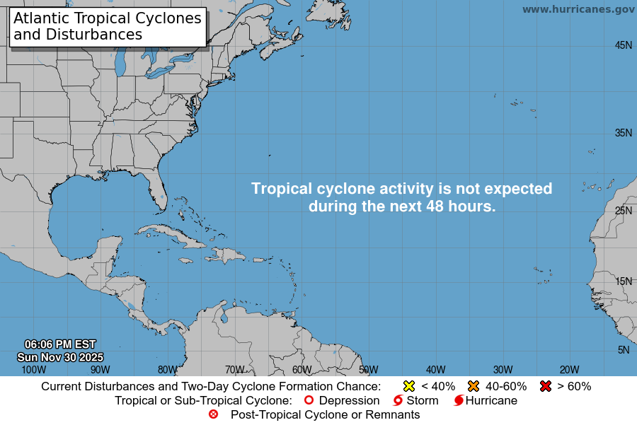
From the National Hurricane Center:
For the North Atlantic Caribbean Sea and the Gulf of America:Near the Windward Islands and the Caribbean Sea (AL98):A tropical wave currently located near the Windward Islands isproducing a large area of showers and T-Storms. Heavy rainfalland gusty winds are expected today continuing through Monday morningacross portions of the Windward and Leeward Islands as the systemmoves quickly westward at 20 to 25 mph into the eastern CaribbeanSea. Additional development is forecast to be limited over the nextday or two, due to the fast forward motion of the wave. The systemis then expected to slow down over the central Caribbean Sea duringthe middle portion of the week, where environmental conditions couldbecome more conducive for development. A tropical depression couldfrom over the central Caribbean Sea by the middle to latter portionof this week.* Formation chance through 48 hours low 10 percent.* Formation chance through 7 days medium 60 percent.Forecaster Papin
You must be logged in to post a comment.