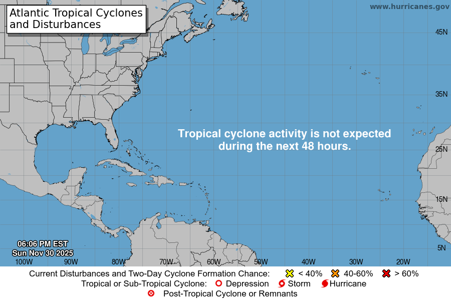
From the National Hurricane Center:
For the North Atlantic Caribbean Sea and the Gulf of America:East of the Windward Islands into the Caribbean Sea:A tropical wave currently located over the central tropical Atlanticis associated with a large area of showers and T-Storms. Somegradual development of this system is possible over the next severaldays as it moves westward at 15 to 20 mph. Regardless ofdevelopment, heavy rainfall and gusty winds are possible as thesystem moves across the Windward Islands late this weekend andenters the Caribbean Sea by the early to middle part of next week.* Formation chance through 48 hours low 10 percent.* Formation chance through 7 days low 30 percent.North Atlantic:A non-tropical area of low pressure is currently developing severalhundred miles to the south of of Nova Scotia, Canada. This system isexpected to drop southeastward and then turn northeastward by thisweekend, and some subtropical or tropical development could occurwhile the system moves over the Gulf Stream to the northeast ofBermuda. By early next week, the system will move furthernortheastward into colder waters, ending its chances fordevelopment.* Formation chance through 48 hours low 10 percent.* Formation chance through 7 days low 10 percent.Forecaster Gibbs
You must be logged in to post a comment.