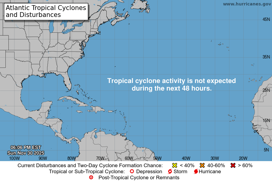
From the National Hurricane Center:
For the North Atlantic Caribbean Sea and the Gulf of America:Caribbean Sea (AL98):A tropical wave located over the eastern Caribbean Sea is producinga concentrated area of showers and T-Storms primarily east ofthe wave axis. The system is moving westward at 15 to 20 mph towardsthe central Caribbean Sea and is expected to slowdown over the nextfew days. Environmental conditions are forecast to become moreconducive for development, and a tropical depression or storm islikely to form over the next few days. Regardless of development,heavy rainfall and gusty winds are subsiding for the Windward andLeeward Islands this morning, but could begin over portions of theABC Islands during the next couple of days. For more information onthis system, including Gale Warnings, please see High Seas Forecastsissued by Weather Tracker TV.* Formation chance through 48 hours medium 50 percent.* Formation chance through 7 days high 80 percent.High Seas Forecasts issued by Weather Tracker TVcan be found under AWIPS header NFDHSFAT1, WMO header FZNT01KWBC, and online at ocean.weather.gov/shtml/NFDHSFAT1.phpForecaster Papin
You must be logged in to post a comment.