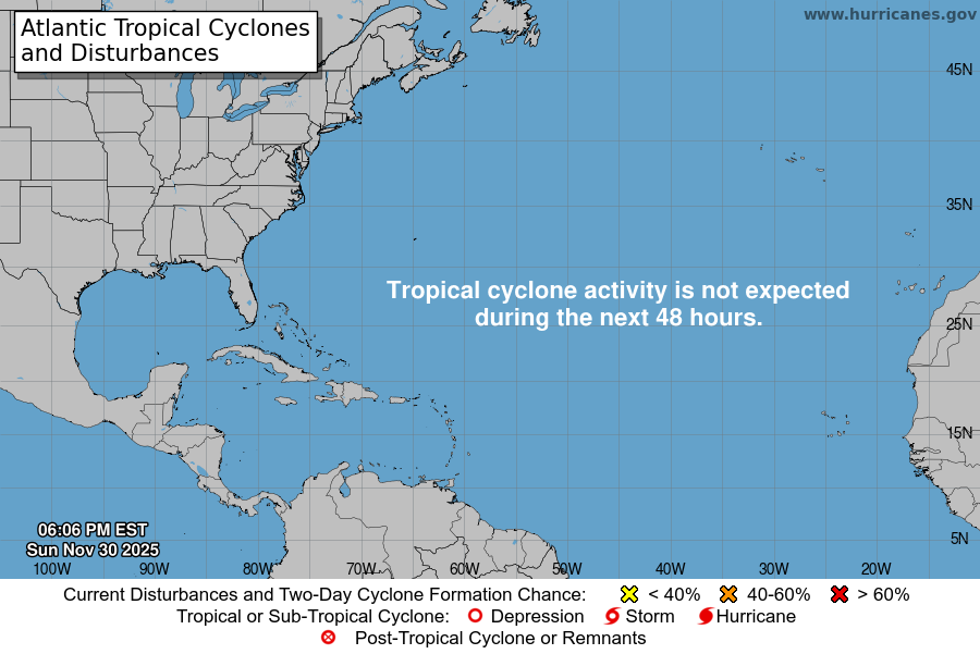
From the National Hurricane Center:
For the North Atlantic Caribbean Sea and the Gulf of America:East of the Windward Islands and the Caribbean Sea:A tropical wave located about 800 miles east of the Windward Islandscontinues to produce a large area of showers and T-Storms.Gradual development of this system is possible during the nextseveral days while it moves generally westward at around 20 mph.Regardless of development, this system is expected to bring heavyrainfall and gusty winds to the Windward Islands Sunday and Sundaynight, then move across the Caribbean Sea through much of next week.* Formation chance through 48 hours low near 0 percent.* Formation chance through 7 days low 30 percent.North Atlantic:A non-tropical area of low pressure is located several hundred mileseast-northeast of Bermuda. There is a slight chance that the systemcould develop some subtropical characteristics through tonightbefore it turns northeastward over cooler waters on Sunday.* Formation chance through 48 hours low 10 percent.* Formation chance through 7 days low 10 percent.Forecaster Hagen
You must be logged in to post a comment.