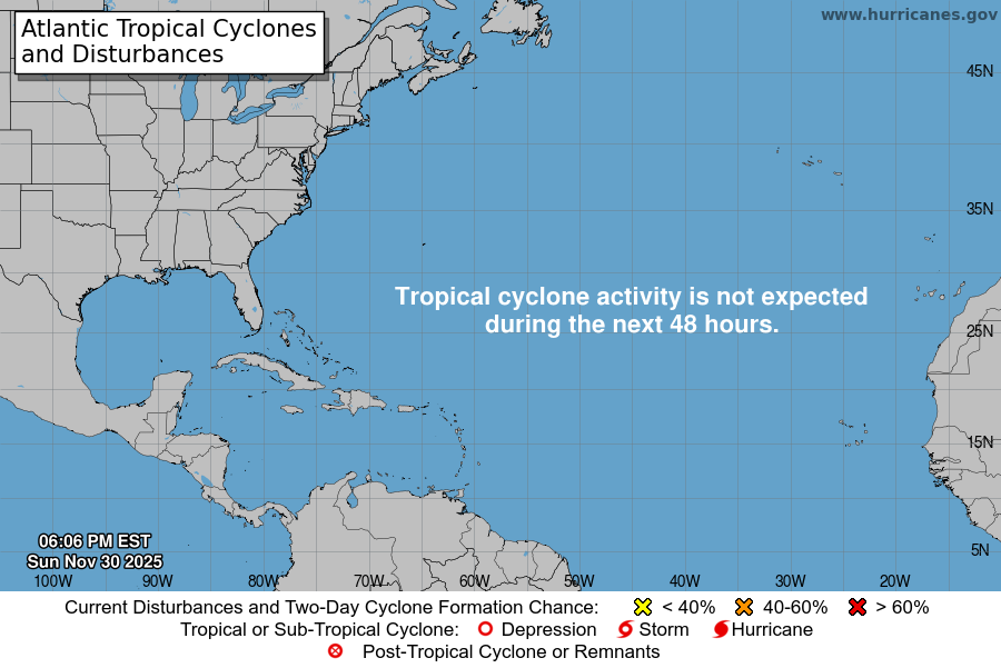
From the National Hurricane Center:
For the North Atlantic Caribbean Sea and the Gulf of America:Active Systems:The National Hurricane Center is issuing advisories on HurricaneGabrielle, located over the central subtropical Atlantic.Central and Western Tropical Atlantic (AL93):Shower and T-Storm activity associated with an elongated areaof low pressure located several hundred miles east of the LeewardIslands continues to show signs of organization. Environmentalconditions are forecast to be favorable for further development, anda tropical depression is likely to form later today or Thursdaywhile the system moves west-northwestward to northwestward into thewestern tropical Atlantic, well north of the Leeward Islands.Additional information on this system, including gale warnings, canbe found in High Seas Forecasts issued by the National WeatherService.* Formation chance through 48 hours high 90 percent.* Formation chance through 7 days high 90 percent.Eastern Caribbean Sea (AL94):A tropical wave over the northeastern Caribbean Sea is producingdisorganized showers and T-Storms. This wave is expected tomove west-northwestward at 15 to 20 mph, spreading heavy rainfalland gusty winds into Puerto Rico and the Virgin Islands today, andacross the Dominican Republic beginning tonight. The system is thenexpected to slow down and turn northwestward when it reaches thesouthwestern Atlantic late this week. Environmental conditions areforecast to be more conducive for development in a few days, and atropical depression is likely to form when the disturbance is in thevicinity of the Bahamas. Interests in the Virgin Islands, PuertoRico, the Dominican Republic, the Turks and Caicos Islands, and theBahamas should monitor the progress of this system. An Air ForceHurricane Hunter Aircraft is scheduled to perform a system surveythis afternoon to gather data from the surrounding environment, ifnecessary.* Formation chance through 48 hours low 30 percent.* Formation chance through 7 days high 80 percent.High Seas Forecasts issued by Weather Tracker TVcan be found under AWIPS header NFDHSFAT1, WMO header FZNT01KWBC, and online at ocean.weather.gov/shtml/NFDHSFAT1.phpForecaster Kelly
You must be logged in to post a comment.