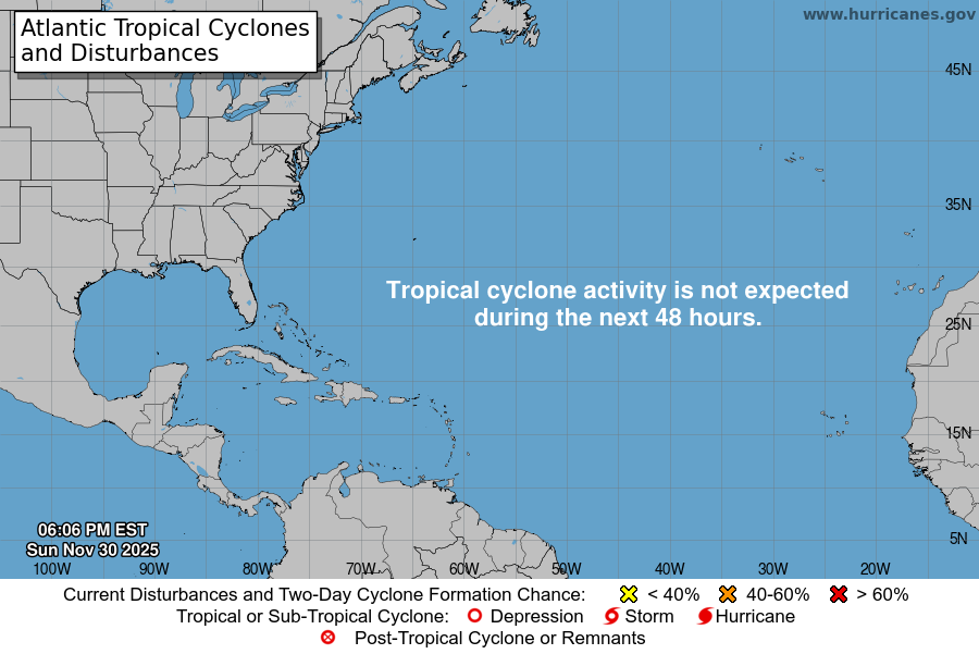
From the National Hurricane Center:
For the North Atlantic Caribbean Sea and the Gulf of America:North-Central Gulf:A trough of low pressure near the southeastern U.S. coast isproducing disorganized showers and T-Storms. Over the next dayor two, this system is forecast to move west-southwestward into thenorth-central portion of the Gulf where some slow development ispossible. By this weekend, the system is likely to move inland,ending its chances for development. Regardless of tropical cycloneformation, locally heavy rainfall is possible for portions ofFlorida over the next day or so, and for the northern Gulf coastthrough this weekend.* Formation chance through 48 hours low 10 percent.* Formation chance through 7 days low 10 percent.Forecaster Pasch
You must be logged in to post a comment.