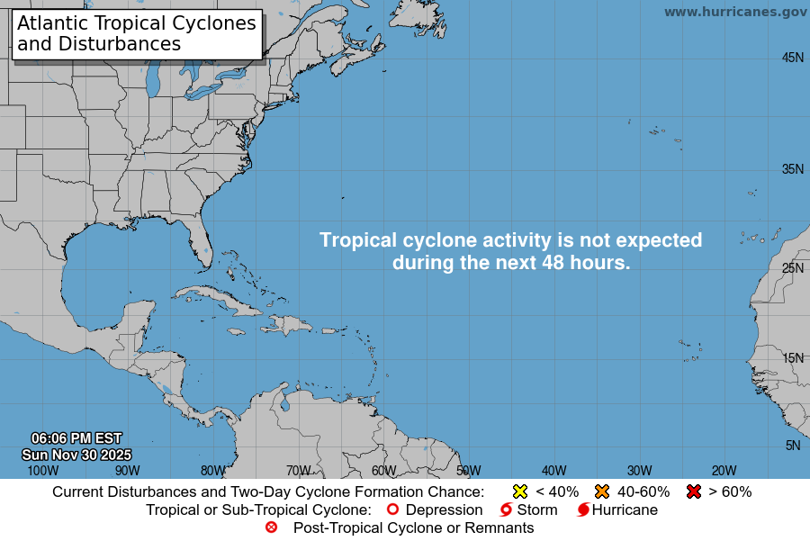
From the National Hurricane Center:
For the North Atlantic Caribbean Sea and the Gulf of America:Special outlook issued to update AL90 formation chancesCentral Subtropical Atlantic (AL90):Satellite images indicate that shower and T-Storm activityhas become better organized in association with a small gale-forcelow-pressure system located about 900 miles east-northeast ofBermuda. This system will likely become a short-lived tropicalstorm later today before more hostile environmental conditions endits opportunity for development by this evening. The low isforecast to move northeastward at around 15 to 20 mph whileremaining over the open central Atlantic. For additionalinformation, including gale warnings, please see High SeasForecasts issued by Weather Tracker TV.* Formation chance through 48 hours high 70 percent.* Formation chance through 7 days high 70 percent.High Seas Forecasts issued by Weather Tracker TVcan be found under AWIPS header NFDHSFAT1, WMO header FZNT01KWBC, and online at ocean.weather.gov/shtml/NFDHSFAT1.phpForecaster Blake
You must be logged in to post a comment.