August 2023
Thursday Night Forecast for the Dallas – Fort Worth Metroplex
ALERT 2:48 PM | An Air Quality Alert has been issued for the DFW Metroplex for Friday September 1
From William Cole: A Air Quality Alert has been issued for the following counties in North Texas until Friday September 1. Collin, Dallas, Denton, Ellis, Henderson, Hunt, Johnson, Kaufman, Parker, Rockwall, Tarrant & Wise.
OZONE ACTION DAY The Texas Commission on Environmental Quality (TCEQ) has issued an Ozone Action Day for the Dallas-Fort Worth area for Friday, September 1, 2023. Atmospheric conditions are expected to be favorable for producing high levels of ozone air pollution in the Dallas-Fort Worth area on Friday. You can help prevent ozone pollution by sharing a ride, walking, riding a bicycle, taking your lunch to work, avoiding drive-through lanes, conserving energy, and keeping your vehicle properly tuned. For more information on ozone: Ozone: The Facts (www.tceq.texas.gov/goto/ozonefacts) Air North Texas: (www.airnorthtexas.org) EPA Air Now (www.airnow.gov/index.cfm?action.local_state&STATEID=45&TAB=0) Take care of Texas (www.takecareoftexas.org) North Central Texas Council of Governments Air Quality (www.nctcog.org/trans/air/index.asp)
Stay with William Cole and Weather Tracker TV Dallas – Fort Worth for continuing coverage online, on our free mobile app and on TV thru Roku, Apple and Amazon Fire TV.
DFW Early Thursday Afternoon Update
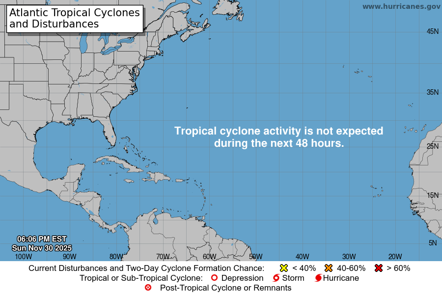
Atlantic Tropical Weather Outlook

From the National Hurricane Center:
For the North Atlantic Caribbean Sea and the Gulf of Mexico:Active Systems:The National Hurricane Center is issuing advisories on HurricaneFranklin, located a couple of hundred miles north-northeast ofBermuda, on Tropical Storm Idalia, located near the coast of NorthCarolina, and on recently upgraded Tropical Storm Jose, locatedseveral hundred miles east-southeast of Bermuda.Eastern Tropical Atlantic (AL94):Showers and T-Storms are gradually becoming better organized inassociation with an area of low pressure located just west of theCabo Verde Islands. Environmental conditions appear conducive forfurther development of this system, and a tropical depression islikely to form during the next couple of days while the system moveswest-northwestward to northwestward across the eastern tropicalAtlantic. Interests in the Cabo Verde Islands should monitor theprogress of this system.* Formation chance through 48 hours high 70 percent.* Formation chance through 7 days high 70 percent.Central Subtropical Atlantic (Remnants of Gert):A weak but well-defined area of low pressure located several hundredmiles north-northeast of the northern Leeward Islands is producinglimited shower and T-Storm activity. This system has a shortwindow for further development during the next day or so while itdrifts northeastward or eastward before upper-level winds becomeincreasingly unfavorable by the weekend.* Formation chance through 48 hours low 30 percent.* Formation chance through 7 days low 30 percent.Forecaster Reinhart