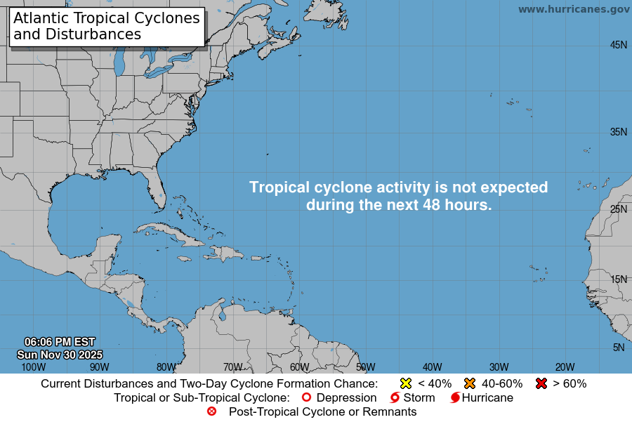
From the National Hurricane Center:
For the North Atlantic Caribbean Sea and the Gulf of Mexico:Central Tropical Atlantic (AL96):Shower and T-Storm activity continues in association with anarea of low pressure located about 700 miles east-northeast of thenorthern Leeward Islands. However, the system does not currentlyhave a well-defined center of circulation. Environmental conditionsare forecast to be sufficiently favorable for development over thenext few days, and a tropical depression or storm is likely to formduring the next day or so. The system is expected to movenorthwestward at 10 to 15 mph today, and then turn northward overthe central subtropical Atlantic by late tonight or Tuesday.Additional information on this system, including gale warnings, canbe found in High Seas Forecasts issued by the National WeatherService.* Formation chance through 48 hours high 70 percent.* Formation chance through 7 days high 80 percent.Off the U.S. Mid-Atlantic Coast (AL97):Shower and T-Storm activity has changed little in associationwith an area of low pressure located offshore of theU.S. Mid-Atlantic coast. The system appears to be acquiringnon-tropical characteristics as it begins to merge with a frontalboundary, and its chances of becoming a tropical cyclone appear tobe decreasing. Regardless, the low is expected to begin producinggale-force winds today while it moves quickly toward theeast-northeast at about 30 mph, and additional information on thissystem can be found in High Seas Forecasts issued by the NationalWeather Service.* Formation chance through 48 hours low 20 percent.* Formation chance through 7 days low 20 percent.For more information about marine hazards associated with AL96and AL97, please see High Seas Forecasts issued by the NationalWeather Service found under AWIPS header NFDHSFAT1, WMO headerFZNT01 KWBC, and online atocean.weather.gov/shtml/NFDHSFAT1.phpForecaster Berg
You must be logged in to post a comment.