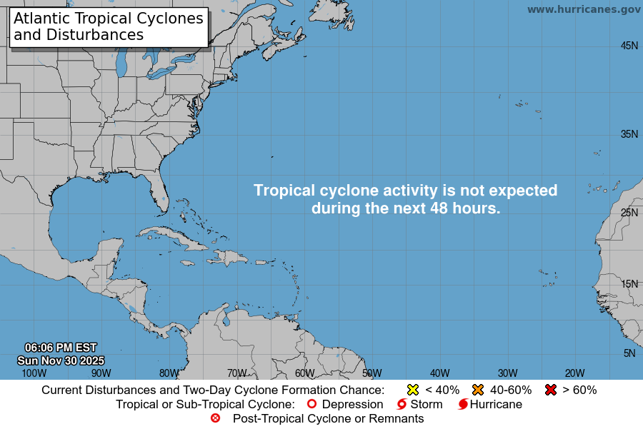
From the National Hurricane Center:
For the North Atlantic Caribbean Sea and the Gulf of Mexico:Eastern Gulf of Mexico:An area of disorganized showers and T-Storms is associated witha surface trough of low pressure interacting with an upper-leveltrough over the eastern Gulf of Mexico. Environmental conditionsappear only marginally favorable for additional development over thenext several days as the system meanders over the eastern Gulf ofMexico. The system is then forecast to move across the FloridaPeninsula this weekend and emerge into the southwestern AtlanticOcean by early next week. Regardless of development, the systemcould produce heavy rainfall and gusty winds over portions of theFlorida Peninsula later this week. Additional information on therainfall and flooding potential can be found in products issued byyour local National Weather Service forecast office and ExcessiveRainfall Outlooks issued by the Weather Prediction Center.* Formation chance through 48 hours low 10 percent.* Formation chance through 7 days low 20 percent.Forecaster Papin
You must be logged in to post a comment.