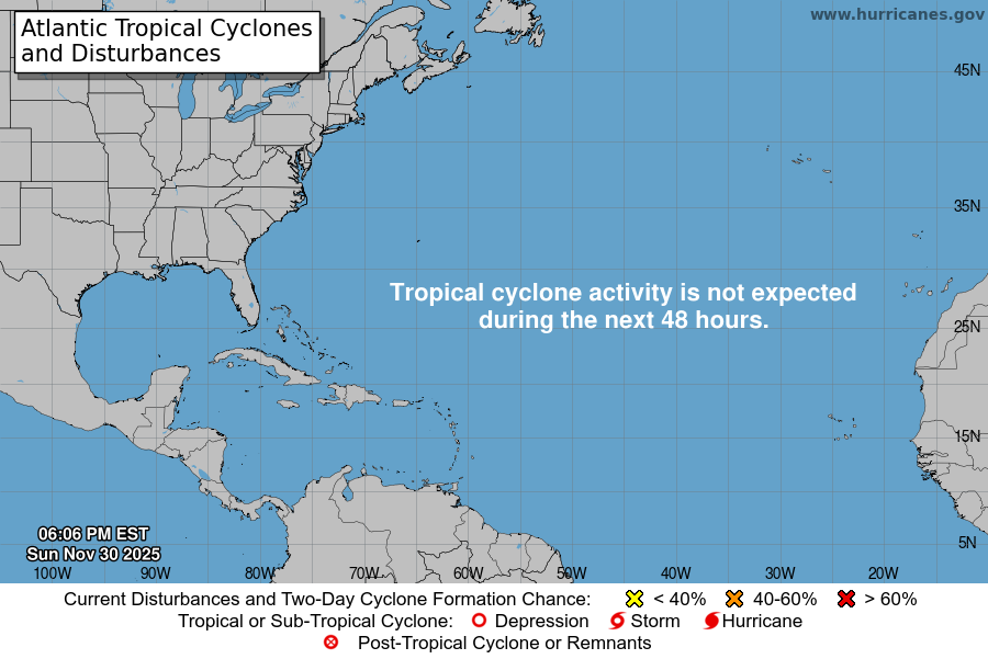
From the National Hurricane Center:
For the North Atlantic Caribbean Sea and the Gulf of Mexico:Southwestern Atlantic:A broad non-tropical area of low pressure located east of thenortheastern coast of Florida and an associated frontal boundaryoff the coast of the southeastern United States are producing alarge area of disorganized showers and T-Storms. The low isunlikely to become a subtropical or tropical cyclone since it isforecast to remain frontal while moving generally northward andinland over the Carolinas late Saturday or Sunday.Regardless, the system is expected to produce gusty winds, anddangerous surf and rip current conditions along portions of thesoutheastern United States coast through Sunday. Heavy rainfall isexpected in portions of the Carolinas and Virginia during the nextfew days. Hazardous marine conditions are also expected over thecoastal and offshore waters where gale and storm warnings are ineffect. For more information, see products from your local NationalWeather Service office and high seas forecasts issued by theNational Weather Service.* Formation chance through 48 hours low 10 percent.* Formation chance through 7 days low 10 percent.High Seas Forecasts issued by Weather Tracker TVcan be found under AWIPS header NFDHSFAT1, WMO header FZNT01KWBC, and online at ocean.weather.gov/shtml/NFDHSFAT1.phpForecaster Brown/Roberts
You must be logged in to post a comment.