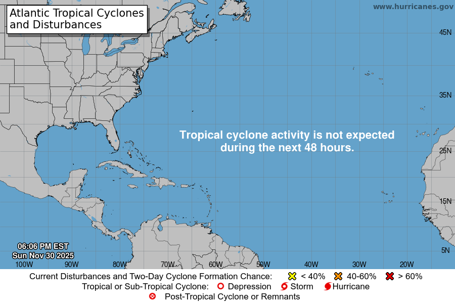
From the National Hurricane Center:
For the North Atlantic Caribbean Sea and the Gulf of Mexico:Central Tropical Atlantic:A broad and elongated area of low pressure located several hundredmiles east of the Lesser Antilles is producing a large area ofdisorganized showers and T-Storms. Although environmentalconditions are only marginally conducive, some gradual developmentof this system is expected over the next several days and a tropicaldepression is likely to form later this week. The disturbance isforecast to move slowly toward the west and then west-northwest at 5to 10 mph, toward the adjacent waters of the northern LeewardIslands. Additional information on this system can be found inHigh Seas Forecasts issued by Weather Tracker TV.* Formation chance through 48 hours medium 50 percent.* Formation chance through 5 days high 80 percent.Eastern Tropical Atlantic:A tropical wave accompanied by a broad area of low pressure islocated just off the west coast of Africa. Some gradual developmentis possible, and the system could become a short-lived tropicaldepression over the far eastern Atlantic during the next few days.By late this week, the disturbance is forecast to move over coolerwaters and further development is not expected. Regardless ofdevelopment, the system could bring locally heavy rainfall toportions of the Cabo Verde Islands by Wednesday.* Formation chance through 48 hours low 20 percent.* Formation chance through 5 days medium 40 percent.High Seas Forecasts issued by Weather Tracker TVcan be found under AWIPS header NFDHSFAT1, WMO header FZNT01KWBC, and online at ocean.weather.gov/shtml/NFDHSFAT1.phpForecaster Reinhart
You must be logged in to post a comment.