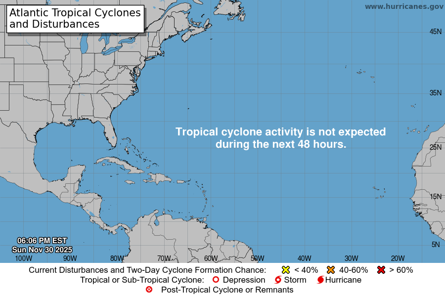
From the National Hurricane Center:
For the North Atlantic Caribbean Sea and the Gulf of Mexico:Active Systems:The National Hurricane Center is issuing advisories on PotentialTropical Cyclone Two, located over the southwestern Caribbean Sea.* Formation chance through 48 hours high 90 percent.* Formation chance through 5 days high 90 percent.Western Gulf of Mexico:Recent satellite and radar imagery indicate that showers andT-Storms associated with an area of low pressure near thesouthern coast of Texas are showing limited signs of organization.The disturbance is forecast to turn northward and move slowly inlandover southeastern Texas later today. Slow development of this systemis possible while the low remains over water and it could stillbecome a short-lived tropical depression before it moves inland.Regardless of development, heavy rain will be possible alongportions of the Texas coast for the next two days. For moreinformation about the potential for heavy rain, please see productsissued by your National Weather Service office. An Air Force ReserveHurricane Hunter plane is scheduled to investigate the disturbancethis afternoon, if it remains over water.* Formation chance through 48 hours medium 40 percent.* Formation chance through 5 days medium 40 percent.Western Tropical Atlantic:A tropical wave located several hundred miles east of the WindwardIslands is producing disorganized showers and T-Storms. Anydevelopment of this system should be slow to occur while the wavemoves west-northwestward during the next day or two. The wave isforecast to move over the Windward Islands on Friday and then overthe eastern Caribbean Sea by the weekend, where further developmentis unlikely due to unfavorable environmental conditions.* Formation chance through 48 hours low 10 percent.* Formation chance through 5 days low 10 percent.Forecaster D. Zelinsky
You must be logged in to post a comment.