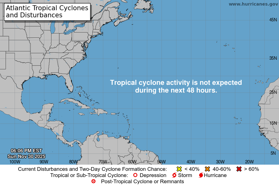
From the National Hurricane Center:
For the North Atlantic Caribbean Sea and the Gulf of Mexico:East of the Windward Islands:The National Hurricane Center is issuing advisories on PotentialTropical Cyclone Two, located over the eastern Caribbean Sea to thenorth of Venezuela.* Formation chance through 48 hours high 80 percent.* Formation chance through 5 days high 90 percent.Northern Gulf of Mexico:An area of low pressure is producing disorganized shower andT-Storm activity over the northwestern Gulf of Mexico. Thissystem is forecast to move slowly westward and approach the coast ofTexas today. The disturbance has not become any better organizedsince yesterday, however some slow development is still possible andit could become a short-lived tropical depression near the coastbefore it moves inland tonight or early Thursday. Regardless ofdevelopment, heavy rain will be possible along portions of the Texascoast for the next few days. For more information about thepotential for heavy rain, please see products issued by yourNational Weather Service office. An Air Force Reserve HurricaneHunter plane is scheduled to investigate the disturbance thisafternoon.* Formation chance through 48 hours medium 40 percent.* Formation chance through 5 days medium 40 percent.Central Tropical Atlantic:A tropical wave located over the central tropical Atlantic isproducing disorganized showers and a few T-Storms. Slowdevelopment of the wave is possible while it moveswest-northwestward for the next few days. The wave is forecast tomove over the Windward Islands late Friday or early Saturday andthen over the eastern Caribbean Sea by the weekend, where furtherdevelopment is unlikely due to unfavorable environmental conditions.* Formation chance through 48 hours low 10 percent.* Formation chance through 5 days low 30 percent.Forecaster D. Zelinsky
You must be logged in to post a comment.